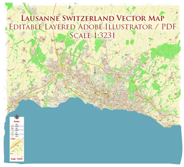
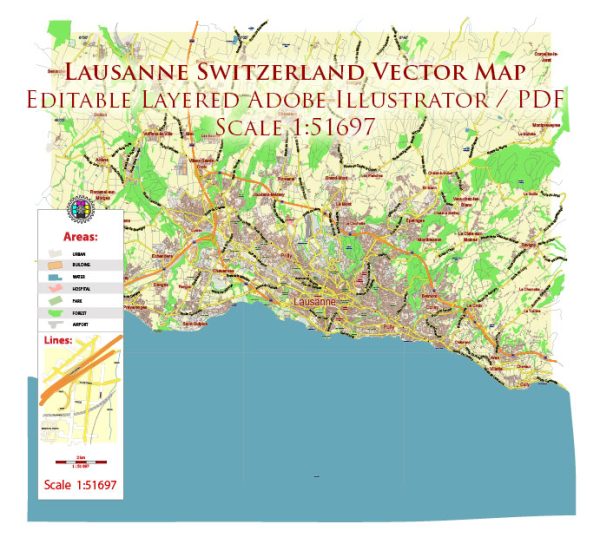
Lausanne, a city in Switzerland located on the shores of Lake Geneva, has a rich political and transportation history that has evolved over the centuries.
Vectormap.Net provide you with the most accurate and up-to-date vector maps in Adobe Illustrator, PDF and other formats, designed for editing and printing. Please read the vector map descriptions carefully.
Here is a detailed overview of both aspects:
Political History:
- Ancient History: Lausanne’s history dates back to Roman times when it was known as Lousonna. The Romans established a settlement here, and the city served as a market town and an important crossroads.
- Medieval Period: Lausanne became a bishopric in the 6th century. During the medieval period, it played a significant role in the ecclesiastical affairs of the region. The Cathedral of Notre Dame, a major landmark in the city, was constructed during this period.
- Bernese Rule: In the 16th century, Lausanne came under Bernese rule during the Reformation. The Protestant Reformation had a profound impact on the city, leading to the establishment of Protestantism as the dominant religion.
- Canton of Vaud: In 1798, during the Napoleonic era, Lausanne became part of the Helvetic Republic and later the Canton of Léman. After the Congress of Vienna in 1815, it became part of the newly formed Canton of Vaud.
- 20th Century: Lausanne continued to develop as an important city in the 20th century. It hosted the International Olympic Committee (IOC) from 1915 and became the official headquarters in 1919, further enhancing its global significance.
- Modern Era: Lausanne has maintained its position as a hub for international organizations and is often referred to as the “Olympic Capital” due to the presence of the IOC and various other sports-related organizations.
Transportation History:
- Early Transportation: Lausanne’s location on the shores of Lake Geneva and its proximity to the Alps made it an important transportation hub. Early transportation included boats on Lake Geneva and trade routes crossing the region.
- Railway Development: The construction of railways in the 19th century significantly influenced Lausanne’s transportation landscape. The Lausanne–Geneva railway was completed in 1856, connecting the city to the major economic and cultural centers.
- Public Transport: Lausanne has developed an efficient public transportation system, including buses and a metro system known as the Lausanne Metro. The metro, inaugurated in 2008, connects various parts of the city, making commuting more convenient.
- Road Infrastructure: Lausanne is well-connected by road networks, and the development of highways has facilitated easier access to the city and its surrounding areas. The A9 motorway, for example, links Lausanne to other Swiss cities and the international road network.
- Aviation: The city is served by Geneva Airport, which is located approximately 60 kilometers away. The airport connects Lausanne to numerous international destinations, contributing to the city’s accessibility.
Overall, Lausanne’s political and transportation history reflects its strategic location, its role in international affairs, and its commitment to modernizing its infrastructure to meet the needs of its residents and visitors.


 Author: Kirill Shrayber, Ph.D.