Las Vegas, Nevada, is a city known for its vibrant entertainment, bustling nightlife, and, of course, its famous Strip. The urban history and street system of Las Vegas have evolved significantly over the years, shaped by factors such as tourism, gaming, and rapid population growth.
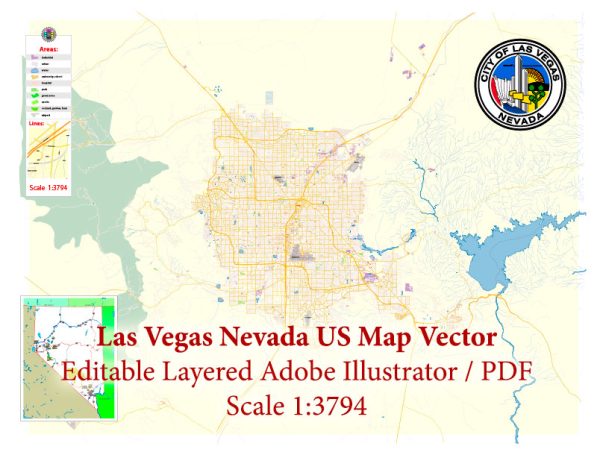
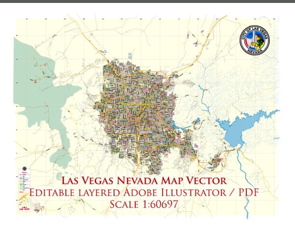
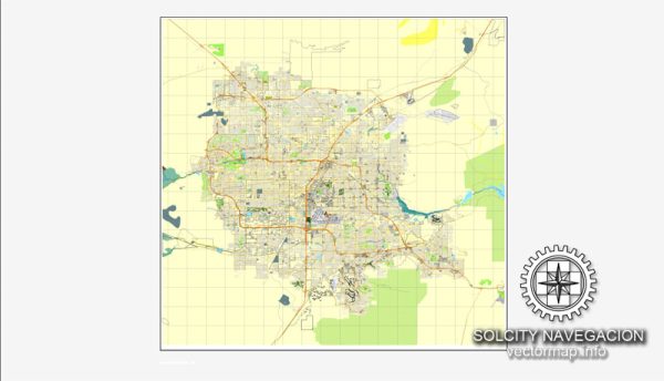
Vectormap.Net provide you with the most accurate and up-to-date vector maps in Adobe Illustrator, PDF and other formats, designed for editing and printing. Please read the vector map descriptions carefully.
Let’s delve into the key aspects of Las Vegas’s urban history and street system:
Urban History:
- Early Settlement (1905-1930):
- Las Vegas was officially founded in 1905 when 110 acres of land were auctioned off as a result of the San Pedro, Los Angeles, and Salt Lake City Railroad arriving in the area.
- The city’s early economy was based on agriculture, and it served as a water stop for trains traveling between Los Angeles and Salt Lake City.
- Hoover Dam Construction (1930s):
- The construction of the Hoover Dam in the 1930s brought an influx of workers and economic activity to the region.
- This period marked the beginning of the city’s association with entertainment and tourism, as workers sought entertainment in their free time.
- Post-World War II and Atomic Testing Era (1940s-1950s):
- The 1940s and 1950s saw population growth due to the city’s proximity to the Nevada Test Site, where atomic bomb tests were conducted.
- The El Rancho Vegas hotel, which opened in 1941, is often considered the first resort on what would later become the Las Vegas Strip.
- Rise of the Las Vegas Strip (1950s-1960s):
- The 1950s and 1960s witnessed the emergence of iconic hotels and casinos along the Strip, including the Flamingo, Sands, and Stardust.
- These establishments contributed to Las Vegas’s image as a hub of entertainment and gambling.
- Corporate Era and Mega-Resorts (1980s-Present):
- The 1980s marked a shift towards corporate ownership of casinos and the construction of mega-resorts like the Mirage, Excalibur, and the MGM Grand.
- The city diversified its attractions, incorporating family-friendly entertainment, shopping, and fine dining.
- Population Growth and Suburban Development:
- Las Vegas experienced significant population growth in the late 20th century, leading to suburban expansion and the development of master-planned communities.
- Neighborhoods like Summerlin and Henderson became prominent residential areas.
Street System:
- The Las Vegas Strip:
- The Las Vegas Strip is a 4.2-mile stretch of Las Vegas Boulevard South and is the heart of the city’s entertainment and resort district.
- Iconic resorts and casinos line the Strip, creating a distinctive skyline and attracting millions of visitors annually.
- Downtown Las Vegas:
- Fremont Street is the historic downtown area and was the original center of gambling in the city.
- The Fremont Street Experience, a pedestrian mall with a massive LED canopy, is a popular attraction in downtown Las Vegas.
- Grid Layout:
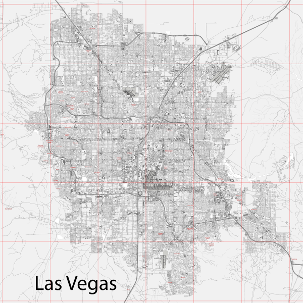
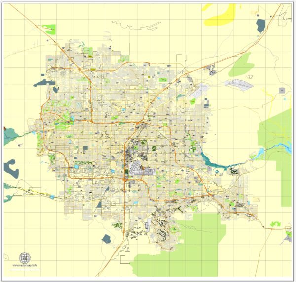
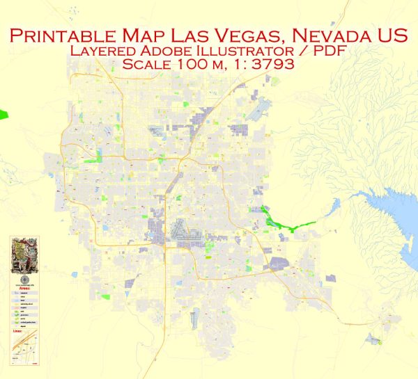
- Much of Las Vegas follows a grid layout, with streets running north-south and avenues running east-west.
- The grid makes navigation relatively straightforward, especially in the central and suburban areas.
- Neighborhoods:
- Las Vegas is composed of various neighborhoods, each with its own character and amenities.
- The city has a mix of residential, commercial, and industrial zones.
- Transportation Infrastructure:
- McCarran International Airport serves as the primary air gateway to the city.
- The Las Vegas Monorail and extensive bus services provide public transportation options.
In summary, Las Vegas has a rich urban history shaped by its evolution from a railroad town to a global entertainment destination. The street system, with its iconic Strip and grid layout, reflects the city’s growth and adaptation to the demands of tourism and population expansion.

 Author: Kirill Shrayber, Ph.D. FRGS