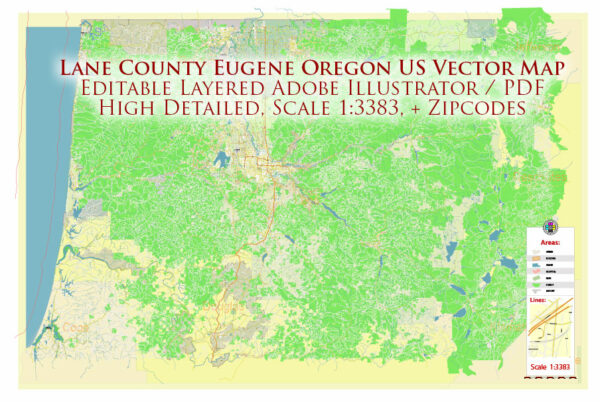
Some information on toll and free roads in Lane County and Eugene, Oregon.
Vectormap.Net provide you with the most accurate and up-to-date vector maps in Adobe Illustrator, PDF and other formats, designed for editing and printing. Please read the vector map descriptions carefully.
In general terms, Lane County, which includes the city of Eugene, has an extensive network of roads and streets that serve both urban and rural areas. Eugene, being a significant city in the region, has a mix of free and tolled roads.
Here are some general characteristics of road systems in the area:
- Free Roads and Streets:
- Most local streets and roads within residential areas are typically free to use and maintained by local municipalities.
- The majority of the road network, especially in non-commercial and non-industrial zones, is free for public use.
- Interstate highways passing through the area, such as I-5, are typically toll-free.
- Toll Roads:
- As of my last update, there weren’t any major toll roads in Lane County or Eugene. However, toll policies and infrastructure can change, so it’s important to check for updates.
- Transportation Authorities:
- The Oregon Department of Transportation (ODOT) manages state highways and transportation systems, and they would have information on toll roads if any.
- Local city authorities in Eugene may oversee the maintenance and regulations of city streets.
- Public Transportation:
- Eugene has a public transportation system, including buses, which may operate on specific routes throughout the city. These services are generally not toll-based.
For the most accurate and current information, I recommend checking with the following sources:
- Oregon Department of Transportation (ODOT):
- Website: ODOT
- City of Eugene:
- Website: https://www.eugene-or.gov/
- Local News Outlets:
- Local news websites or newspapers often report on changes to transportation infrastructure.


 Author: Kirill Shrayber, Ph.D. FRGS