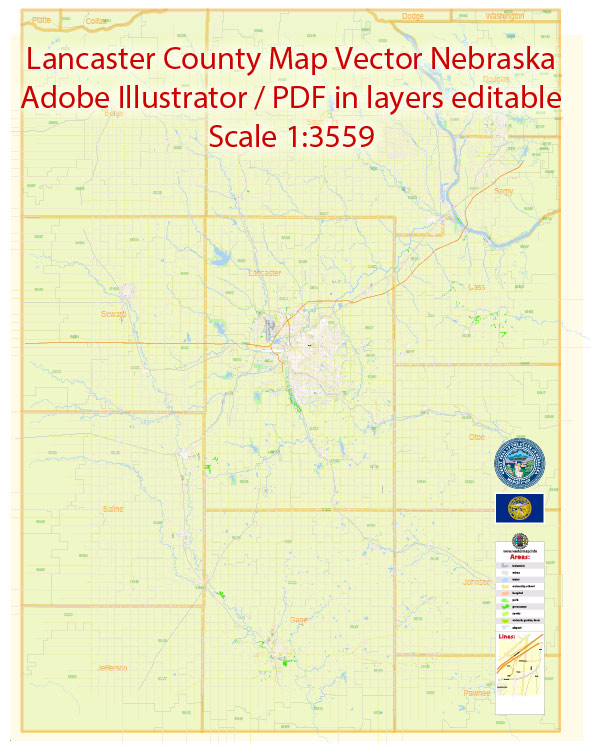
Some information about the urban history and street system of Lancaster, Nebraska, a general understanding of how urban histories and street systems develop in many American cities and towns.
Vectormap.Net provide you with the most accurate and up-to-date vector maps in Adobe Illustrator, PDF and other formats, designed for editing and printing. Please read the vector map descriptions carefully.
Urban History:
- Settlement and Early Growth:
- Many cities and towns in the United States began as small settlements, often established around trade routes, rivers, or other strategic locations.
- The area that is now Lancaster may have started as a small settlement that grew due to factors like agriculture, trade, or the presence of natural resources.
- Railroad and Transportation:
- The development of railroads played a crucial role in the growth of many American cities. It allowed for easier transportation of goods and people, facilitating economic development.
- The presence of a railroad station might have been a catalyst for growth in Lancaster.
- Industrialization and Economic Expansion:
- Industrialization in the late 19th and early 20th centuries often led to population growth and urbanization.
- The type of industries that developed in and around Lancaster would have had a significant impact on the city’s growth and character.
- Post-World War II Suburbanization:
- Like many cities, Lancaster might have experienced suburbanization after World War II, as people moved to the outskirts for housing, leading to changes in the urban landscape.
Street System:
- Grid Layout:
- Many American cities and towns, especially those in the Midwest, follow a grid layout for their streets. This makes navigation relatively straightforward.
- The early planners might have established a grid system in Lancaster, with numbered streets running north-south and named streets running east-west.
- Main Streets and Civic Centers:
- Cities often have a central street or district that serves as a commercial and civic center. This area may contain important government buildings, businesses, and cultural institutions.
- The main street(s) of Lancaster would likely have historical significance and be a focal point for the community.
- Expansion and Modernization:
- Over time, the street system would have expanded and modernized to accommodate a growing population and changing transportation needs.
- Infrastructure improvements, such as the development of highways and the expansion of major roads, might have altered the city’s street system.
- Landmarks and Neighborhoods:
- The street system is often shaped by landmarks, parks, and distinct neighborhoods. Each area may have its own unique character and history.
For specific and up-to-date information on Lancaster, Nebraska, you may want to consult local historical archives, city planning departments, or historical societies. Additionally, online resources, local libraries, and city government offices can provide valuable insights into the city’s urban history and street system.


 Author: Kirill Shrayber, Ph.D. FRGS