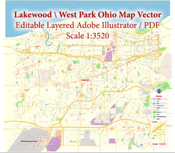
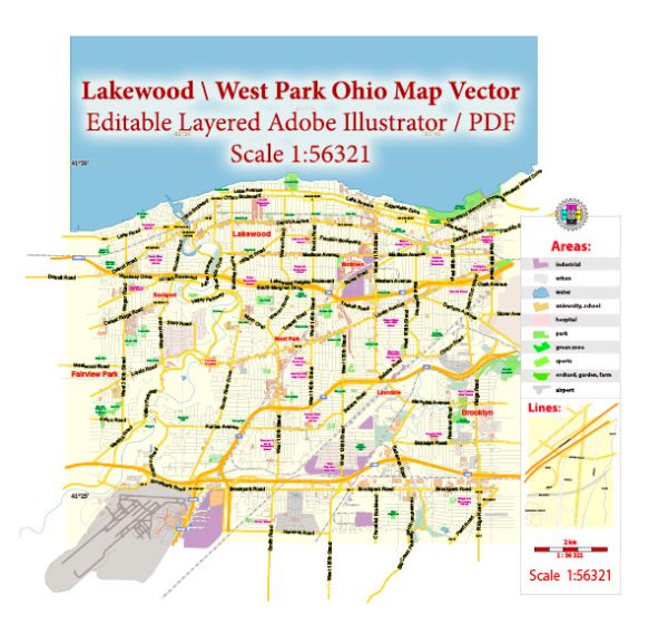
A general overview of the history and transportation infrastructure of Lakewood, Ohio, in the United States.
Vectormap.Net provide you with the most accurate and up-to-date vector maps in Adobe Illustrator, PDF and other formats, designed for editing and printing. Please read the vector map descriptions carefully.
History of Lakewood, Ohio:
Lakewood is a city located in Cuyahoga County, Ohio, on the shores of Lake Erie, just west of Cleveland. The area that is now Lakewood was initially settled in the early 19th century. It was primarily rural until the late 19th century when it began to develop as a streetcar suburb of Cleveland. The city was officially incorporated as “East Rockport” in 1889 but was later renamed Lakewood in 1903.
Lakewood experienced significant growth during the early 20th century as more people moved to the suburbs, attracted by the availability of transportation and the desire for a suburban lifestyle. The city has a mix of architectural styles, including Victorian, Tudor, and Colonial Revival, reflecting its historical development.
Transportation Infrastructure:
1. Roads and Highways:
- Interstate 90 (I-90): Lakewood is easily accessible via Interstate 90, a major east-west highway connecting cities in the region.
- Ohio Route 2 (OH-2): This state route also passes through Lakewood, providing additional transportation options.
2. Public Transportation:
- Greater Cleveland Regional Transit Authority (RTA): Lakewood is served by RTA buses and the “Rapid Transit” rail system. The RTA provides a convenient means of commuting to downtown Cleveland and other parts of the metropolitan area.
3. Biking and Walking:
- Lakewood has made efforts to promote biking and walking as alternative modes of transportation. The city has implemented bike lanes and pedestrian-friendly infrastructure to enhance safety and accessibility.
4. Airport:
- Cleveland Hopkins International Airport: Located approximately 10 miles southwest of Lakewood, Cleveland Hopkins International Airport is the primary airport serving the region. It offers domestic and limited international flights, connecting Lakewood residents to various destinations.
5. Port of Cleveland:
- While not directly in Lakewood, the Port of Cleveland, situated on Lake Erie, plays a role in the transportation infrastructure of the region, facilitating maritime trade.
6. Historical Transit Influence:
- Lakewood’s development as a streetcar suburb has left an imprint on its layout and architecture. The historical streetcar lines influenced the city’s growth patterns and are reflected in its urban design.
Recent Developments:
While I do not have real-time information, many cities, including Lakewood, often undergo improvements and developments in their transportation infrastructure. These may include road maintenance, public transportation enhancements, and efforts to promote sustainable and active transportation.
For the most up-to-date information on Lakewood’s transportation infrastructure and recent developments, I recommend checking with local government sources, transportation authorities, or official city websites.


 Author: Kirill Shrayber, Ph.D.