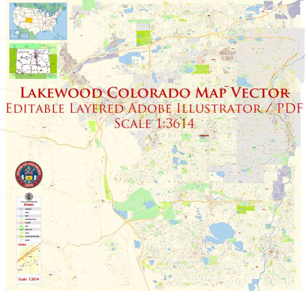
Lakewood, Colorado, beyond general knowledge about the city, some general information that may be relevant.
Vectormap.Net provide you with the most accurate and up-to-date vector maps in Adobe Illustrator, PDF and other formats, designed for editing and printing. Please read the vector map descriptions carefully.
History:
Lakewood, a city located in Jefferson County, Colorado, has a history tied to the westward expansion of the United States. The area was initially settled during the 19th century, and the development of the city was influenced by mining and agriculture. The establishment of Lakewood as a city occurred relatively recently, in 1969.
Transportation Infrastructure:
Roads and Highways:
Lakewood is well-connected by a network of roads and highways, making it accessible for residents and visitors. Key roadways include:
- Interstate 70 (I-70): A major east-west interstate that passes through Lakewood, providing a crucial transportation route connecting the city to Denver and beyond.
- US Highway 6 (US-6): Colfax Avenue, a significant east-west route, runs through Lakewood and serves as a major thoroughfare.
Public Transit:
Lakewood is part of the Denver metropolitan area, which has a comprehensive public transit system managed by the Regional Transportation District (RTD). Public transit options in and around Lakewood include:
- Light Rail: The W Line of the RTD Light Rail system serves Lakewood, connecting it to downtown Denver and other areas.
- Bus Services: RTD operates several bus routes in and around Lakewood, providing convenient transportation for residents.
Airports:
While Lakewood doesn’t have its own airport, Denver International Airport (DEN) is the major airport serving the region. Situated approximately 30 miles northeast of Lakewood, DEN is one of the busiest airports in the United States, offering domestic and international flights.
Biking and Walking Paths:
Lakewood, like many cities in Colorado, promotes a healthy and active lifestyle. The city has invested in bike lanes and walking paths, contributing to a more bike-friendly and pedestrian-friendly environment.
It’s essential to check for any updates or changes in the transportation infrastructure, as cities continually evolve and make improvements to accommodate growing populations and changing needs. For the most current and detailed information, consider checking with local government sources, transportation authorities, or community resources in Lakewood.


 Author: Kirill Shrayber, Ph.D.