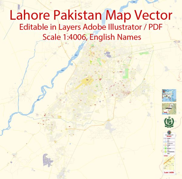
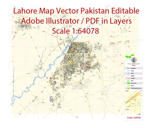
Lahore, the capital city of the Punjab province in Pakistan, has a rich urban history that spans over many centuries. The city’s origins can be traced back to ancient times, and it has served as a significant cultural, political, and economic center in the South Asian region. The development of Lahore’s urban and street system reflects the diverse influences of various historical periods.
Vectormap.Net provide you with the most accurate and up-to-date vector maps in Adobe Illustrator, PDF and other formats, designed for editing and printing. Please read the vector map descriptions carefully.
Ancient and Medieval Periods: Lahore’s history dates back over a thousand years. It is believed to have been founded by Loh, the son of Lord Rama, according to Hindu mythology. However, historical evidence suggests that the city has been inhabited since at least the 1st millennium BCE.
During the medieval period, Lahore witnessed the rule of various dynasties, including the Ghaznavids, Ghurids, and the Delhi Sultanate. The city became a prominent cultural and commercial center under the Mughal Empire, reaching its zenith during the reign of Emperor Akbar in the 16th century.
Mughal Period: The Mughal influence is significant in Lahore’s architecture and urban planning. The city was enclosed by a defensive wall during the reign of Emperor Akbar, and the Lahore Fort and Badshahi Mosque were constructed during the Mughal era. The street system within the walled city was organized in a grid pattern, with bazaars, gardens, and residential areas.
British Colonial Period: In the 19th century, Lahore came under British colonial rule. The British made several changes to the urban landscape, introducing modern infrastructure and governance systems. The construction of the Lahore Railway Station, the University of the Punjab, and the High Court are notable examples of British colonial architecture. The walled city’s street system continued to evolve, blending traditional Mughal patterns with modern developments.
Post-Independence Period: After the partition of British India in 1947, Lahore became a part of Pakistan. The city experienced rapid population growth and urbanization in the post-independence period. New residential areas and commercial districts emerged, leading to the expansion of the city beyond the historic walled city.
Contemporary Period: Today, Lahore is a bustling metropolis with a mix of historic and modern elements. The old walled city still retains its historic charm, with narrow lanes, bazaars, and architectural marvels. The surrounding areas have seen extensive urban development, with a network of roads, highways, and modern infrastructure.
Lahore’s street system comprises a combination of narrow, winding lanes in the old city and a more organized grid pattern in the newer areas. Major roads and boulevards connect different parts of the city, facilitating transportation and commerce.
In summary, Lahore’s urban history reflects the influences of various civilizations, with a blend of Mughal, British colonial, and contemporary elements. The street system has evolved over the centuries, contributing to the city’s unique and vibrant character.


 Author: Kirill Shrayber, Ph.D. FRGS