Economic Connections:
The economic connections between La Paz and El Alto are closely intertwined, as they form a contiguous urban area that serves as a major economic hub for Bolivia.
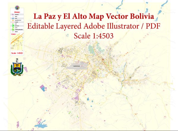
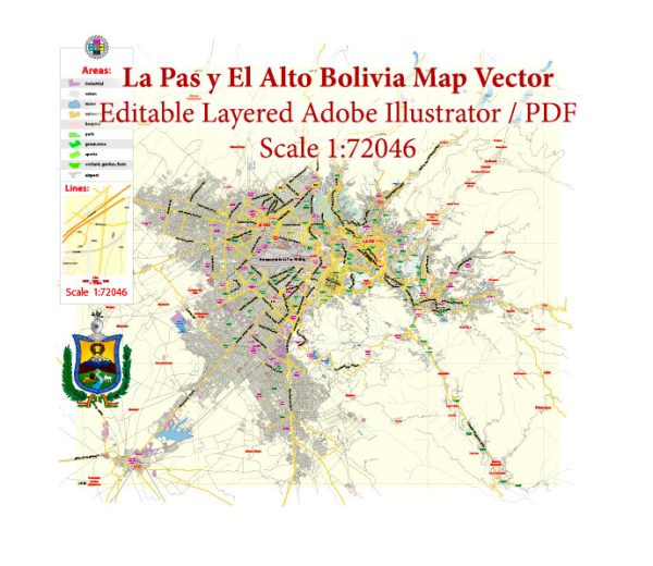
Vectormap.Net provide you with the most accurate and up-to-date vector maps in Adobe Illustrator, PDF and other formats, designed for editing and printing. Please read the vector map descriptions carefully.
Here are some key aspects of their economic connections:
- Trade and Commerce:
- Both cities are significant centers for trade and commerce, with numerous markets and commercial districts. The Feria 16 de Julio in El Alto is one of the largest open-air markets in South America, attracting vendors and shoppers from various regions.
- Business Districts:
- La Paz is home to the financial and administrative institutions of Bolivia, hosting government offices, banks, and corporate headquarters. This concentration of economic activity contributes to the overall economic development of the region.
- Manufacturing and Industry:
- El Alto has witnessed substantial industrial and manufacturing growth, with many factories and workshops producing goods for domestic consumption and export. The city’s industrial sector contributes significantly to Bolivia’s overall economic output.
- Informal Economy:
- Both cities have a vibrant informal economy, with many residents engaged in small-scale entrepreneurship, street vending, and various informal economic activities. This dynamic informal sector plays a crucial role in the livelihoods of a substantial portion of the population.
Transport Connections:
The transport connections between La Paz and El Alto are vital for the movement of people and goods within the metropolitan area and beyond. Several modes of transportation facilitate these connections:
- Mi Teleférico (Cable Car System):
- La Paz and El Alto are connected by the Mi Teleférico, a modern cable car system that has become a symbol of urban transportation innovation. The system provides an efficient and scenic way for residents to move between the two cities and has eased traffic congestion.
- Road Network:
- A network of roads and highways connects La Paz and El Alto, facilitating the movement of vehicles, including buses, taxis, and private cars. The road infrastructure is essential for commuting, transportation of goods, and access to various neighborhoods and districts.
- Public Transportation:
- Both cities have a well-developed public transportation system, including buses and minibusses, which are widely used by residents for daily commuting. The transportation network extends beyond the metropolitan area, connecting La Paz and El Alto to other parts of the country.
- Airport:
- El Alto International Airport, located in El Alto, serves as the main gateway to the region. It is one of the highest international airports in the world and facilitates air travel for both domestic and international flights, connecting La Paz and Bolivia to the global air transportation network.
The integration of economic and transport systems between La Paz and El Alto reflects the interconnectedness of these two cities, creating a dynamic and multifaceted urban area that plays a crucial role in Bolivia’s economic and cultural landscape.


 Author: Kirill Shrayber, Ph.D. FRGS