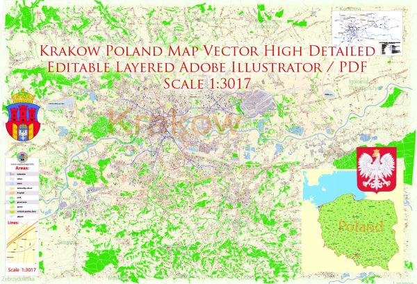
A general overview of the history of railroads and road systems in Krakow, Poland.
Vectormap.Net provide you with the most accurate and up-to-date vector maps in Adobe Illustrator, PDF and other formats, designed for editing and printing. Please read the vector map descriptions carefully.
Railroads in Krakow, Poland:
- Early Developments (19th Century): The history of railroads in Krakow dates back to the 19th century when the first railway connection was established. The first railway line in the region connected Krakow with Mysłowice, and it was inaugurated in 1847. This marked the beginning of the expansion of rail networks in the area.
- Expansion and Modernization: Over the following decades, Krakow’s rail infrastructure expanded, connecting the city with other major Polish cities and European centers. The expansion of railroads played a crucial role in facilitating transportation, trade, and industrial development in the region.
- World Wars and Rebuilding: The railroads suffered considerable damage during World War I and World War II. However, after the wars, there was a concerted effort to rebuild and modernize the rail infrastructure in Krakow and Poland as a whole.
- Electrification: In the mid-20th century, electrification of railway lines became a significant development. This move aimed to improve efficiency, reduce environmental impact, and enhance the overall performance of the rail network. Electrification efforts continued over the years, contributing to the modernization of rail transportation in and around Krakow.
- High-Speed Rail Connections: In recent decades, efforts have been made to improve rail connections, including the introduction of high-speed rail services. This has aimed at enhancing the efficiency of travel within Poland and connecting major cities with faster and more reliable rail options.
Road System in Krakow, Poland:
- Early Roads: The road system in Krakow has a long history, with ancient trade routes and pathways connecting the city to other regions. These early roads played a vital role in trade, communication, and the movement of people.
- Modernization: In the 19th and early 20th centuries, efforts were made to modernize the road system in and around Krakow. This included the development of paved roads and the integration of the region into broader national and international road networks.
- Post-War Reconstruction: Similar to the railways, the road infrastructure in Krakow suffered damage during the World Wars. After the conflicts, reconstruction efforts focused on rebuilding and expanding the road network to support the growing needs of the city and its surroundings.
- Contemporary Developments: In recent years, there has been a continued emphasis on modernizing and expanding the road system to accommodate the increasing traffic and transportation demands. This includes the construction of new highways and the improvement of existing roadways.
- Integration with European Networks: Poland’s road system, including those around Krakow, has been integrated into the broader European transportation networks. This integration facilitates smoother cross-border travel and trade.
It’s essential to check for the latest information and developments as infrastructure projects and improvements are ongoing. Local authorities and transportation agencies typically play a crucial role in shaping the future of railroads and road systems in the region.


 Author: Kirill Shrayber, Ph.D.