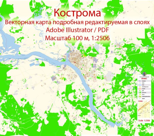
About the economic and transport connections in Kostroma, Russia, a general overview of what might typically be expected in terms of economic and transport connections in a Russian city like Kostroma.
Vectormap.Net provide you with the most accurate and up-to-date vector maps in Adobe Illustrator, PDF and other formats, designed for editing and printing. Please read the vector map descriptions carefully.
Economic Overview:
- Industrial Base: Kostroma, like many Russian cities, likely has a mix of industrial activities contributing to its economy. Industries such as manufacturing, textiles, and machinery may play a role in the local economy.
- Agriculture: Given Russia’s emphasis on agriculture, Kostroma might have agricultural activities contributing to its economy. This could include the cultivation of crops and livestock farming.
- Trade and Commerce: Kostroma may have local markets, shopping centers, and commercial areas where trade and commerce take place. Retail, services, and small businesses are likely to be part of the economic landscape.
- Tourism: If Kostroma has historical or cultural significance, tourism may also be a factor in its economy. Historical sites, cultural events, and natural attractions can draw visitors.
Transport Connections:
- Roadways: Kostroma is likely connected to the broader transportation network through roads and highways. This includes connections to nearby cities and major transportation arteries.
- Railways: Russia has an extensive railway system, and Kostroma is likely connected to it. Rail transport is crucial for the movement of goods and people within the country.
- Waterways: If Kostroma is situated near a river or has access to waterways, it might utilize them for transportation. Russia has a network of navigable rivers, and Kostroma may benefit from this for shipping goods.
- Air Transport: Kostroma may have an airport or be in proximity to one. Airports facilitate domestic and international travel, as well as the transportation of goods.
- Public Transportation: Within the city, there might be a system of buses, trams, or trolleys to facilitate public transportation.
Please note that the specifics can vary, and the most accurate information can be obtained from local authorities, transportation departments, and economic development agencies in Kostroma.


 Author: Kirill Shrayber, Ph.D. FRGS