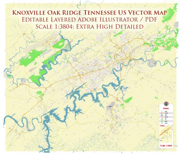
A general overview of the roads and railroads infrastructure in the Knoxville and Oak Ridge areas of Tennessee.
Vectormap.Net provide you with the most accurate and up-to-date vector maps in Adobe Illustrator, PDF and other formats, designed for editing and printing. Please read the vector map descriptions carefully.
Roads Infrastructure:
Knoxville:
- Interstate Highways:
- Interstate 40 (I-40) runs east-west through Knoxville, connecting it to major cities such as Nashville and Asheville.
- Interstate 75 (I-75) passes through the southwestern part of Knoxville, providing north-south connectivity.
- U.S. Highways:
- U.S. Route 129 (Alcoa Highway) connects Knoxville to McGhee Tyson Airport and the town of Alcoa to the south.
- U.S. Route 441 (Chapman Highway) runs south from Knoxville, serving as a major route to the Great Smoky Mountains.
- State Routes:
- Several state routes serve Knoxville and its surrounding areas, providing connectivity to nearby towns and attractions.
- Bridges and Tunnels:
- Various bridges span the Tennessee River, connecting different parts of Knoxville.
- The Henley Street Bridge and James White Parkway Bridge are notable river crossings.
Oak Ridge:
- Highways:
- State Route 62 (Illinois Avenue) and State Route 95 (Oak Ridge Turnpike) are major roads in Oak Ridge.
Railroads Infrastructure:
Knoxville:
- Rail Lines:
- Norfolk Southern Railway and CSX Transportation operate major rail lines in and around Knoxville.
- These rail lines facilitate the transportation of goods, including coal, automotive products, and other commodities.
- Freight Yards:
- Knoxville has freight yards and rail facilities that play a crucial role in the distribution of goods.
Oak Ridge:
- Rail Access:
- Oak Ridge has rail access, which is important for the transportation of materials related to its historical association with the Manhattan Project during World War II.
Public Transportation:
Knoxville:
- Knoxville Area Transit (KAT):
- KAT operates public bus services in Knoxville, providing transportation within the city and neighboring areas.
- Trolley System:
- The free Knoxville Trolley runs on a loop through downtown Knoxville, offering a convenient mode of transportation.
Please note that developments or changes in infrastructure may have occurred since my last update. It’s advisable to check with local transportation authorities or official sources for the most recent and detailed information on roads and railroads in the Knoxville and Oak Ridge areas.


 Author: Kirill Shrayber, Ph.D. FRGS