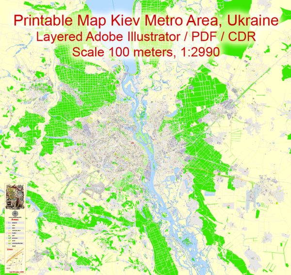
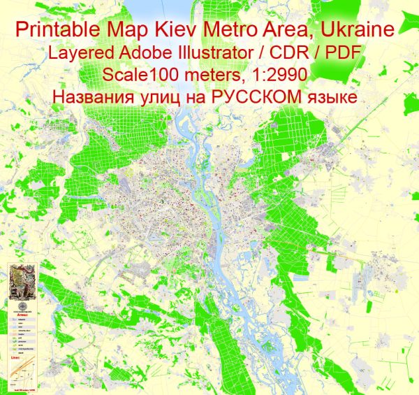
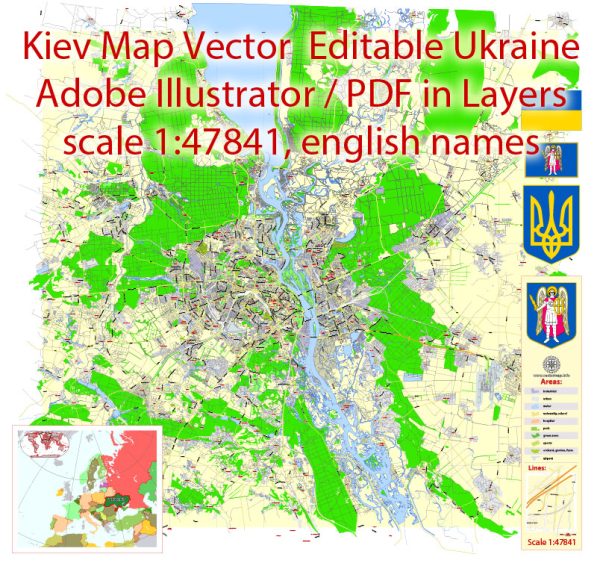
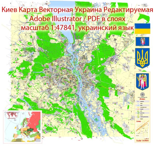
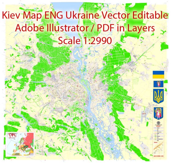
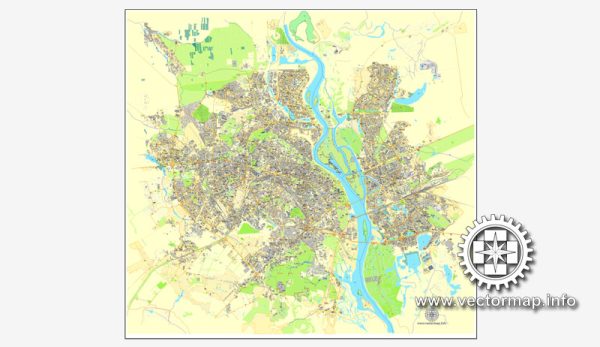
A general overview of the economic and transport connections in Kiev, Ukraine.
Vectormap.Net provide you with the most accurate and up-to-date vector maps in Adobe Illustrator, PDF and other formats, designed for editing and printing. Please read the vector map descriptions carefully.
Economic Overview: Kiev, the capital and largest city of Ukraine, plays a crucial role in the country’s economy. It is a major political, cultural, and industrial center. The city has a diverse economic base, with key sectors including finance, manufacturing, services, and trade.
- Finance and Business: Kiev is home to the headquarters of many Ukrainian financial institutions, including banks, insurance companies, and investment firms. The city hosts the National Bank of Ukraine, which is the country’s central bank.
- Industry: The industrial sector in Kiev includes manufacturing industries such as machinery, electronics, food processing, and chemicals. The city contributes significantly to the overall industrial output of Ukraine.
- Services and IT: The services sector, including IT and software development, has been growing rapidly in Kiev. The city has become a hub for IT companies, startups, and outsourcing services, contributing to Ukraine’s reputation as an IT outsourcing destination.
- Trade and Commerce: Kiev’s central location in Ukraine makes it a key transportation and trade hub. The city has numerous markets, shopping centers, and commercial districts supporting retail and wholesale activities.
Transport Connections:
- Air Transport: The city is served by Boryspil International Airport, the country’s largest and busiest airport, located about 29 kilometers east of the city center. Zhuliany International Airport, located closer to the city center, also handles domestic and international flights.
- Rail Transport: Kiev has a well-developed railway network, with several major railway stations, including Kiev-Passenger, serving both domestic and international routes. High-speed and overnight trains connect Kiev with various cities across Ukraine and neighboring countries.
- Road Transport: The city has an extensive road network, and major highways converge in Kiev. The road infrastructure connects the city with other regions of Ukraine and neighboring countries. Public transportation within the city includes buses, trolleybuses, and the Kiev Metro.
- Public Transportation: The Kiev Metro is a rapid transit system that consists of three lines, providing convenient and efficient transportation within the city. Additionally, buses, trolleybuses, and trams cover various routes, offering comprehensive public transportation options.
- River Transport: The Dnieper River, flowing through Kiev, historically served as an important trade route. While river transport is not as dominant as it once was, it still plays a role in transporting goods and passengers.

 Author: Kirill Shrayber, Ph.D. FRGS