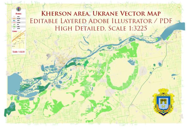
A general overview of the economic and transport connections in Kherson, Ukraine.
Vectormap.Net provide you with the most accurate and up-to-date vector maps in Adobe Illustrator, PDF and other formats, designed for editing and printing. Please read the vector map descriptions carefully.
Kherson is a city located in the southern part of Ukraine, near the Black Sea. It serves as the administrative center of the Kherson Oblast (region). Here are key aspects of its economic and transport connections:
- Economic Overview:
- Industry: Kherson has a diverse economy, with industries such as shipbuilding, agriculture, food processing, and trade playing significant roles. The city has a port on the Dnieper River, which facilitates trade and transportation of goods.
- Agriculture: The surrounding region is known for its fertile soil, and agriculture is a crucial part of the local economy. The cultivation of crops like wheat, sunflower, and vegetables contributes to the city’s economic activities.
- Trade and Commerce: The city’s location near the Black Sea and its port facilities make it an important hub for trade. The port facilitates the export of goods, including agricultural products and industrial goods.
- Transport Connections:
- Port of Kherson: The Port of Kherson is a major transportation hub, providing access to the Black Sea. It plays a vital role in facilitating the export of goods, especially grains and agricultural products. The port also handles shipbuilding and repair activities.
- River Transport: The city is situated on the Dnieper River, and river transport is utilized for moving goods within the region. The river connection is essential for trade and transportation of goods to and from the city.
- Road and Rail Networks: Kherson is connected to the broader Ukrainian transportation network through road and rail infrastructure. Roads and railways link the city to other major urban centers, facilitating the movement of people and goods.
- Air Transport: Kherson International Airport provides air connectivity to the region. While not as large as some of the major international airports in Ukraine, it serves domestic and international flights, contributing to the overall transport infrastructure of the city.
- Infrastructure Development:
- Over the years, there have been efforts to invest in and develop infrastructure in Kherson to enhance its economic potential. Infrastructure projects may include improvements to roads, bridges, and other transportation facilities.


 Author: Kirill Shrayber, Ph.D. FRGS