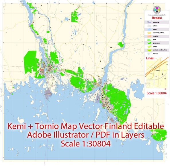
Kemi and Tornio are neighboring cities located in northern Finland. Both cities are situated in the Lapland region, close to the Gulf of Bothnia.
Vectormap.Net provide you with the most accurate and up-to-date vector maps in Adobe Illustrator, PDF and other formats, designed for editing and printing. Please read the vector map descriptions carefully.
- Geography and Location:
- Kemi is located on the Bothnian Bay, which is a part of the Gulf of Bothnia, while Tornio is situated on the border with Sweden.
- The cities are strategically positioned for both maritime and land-based transportation.
- Economic Overview:
- Both Kemi and Tornio have historically been industrial cities, with a focus on various economic activities.
- Tornio is known for hosting the Tornio-Haparanda economic zone, where businesses from both Finland and Sweden operate closely.
- Major Industries:
- The region is well-known for its industrial activities, including steel production. The Outokumpu stainless steel plant, one of the largest in Europe, is located in Tornio.
- Other industries include forestry, paper, and chemical processing.
- Transportation Connections:
- Roads: The E8 European route passes through both Kemi and Tornio, connecting the cities to other parts of Finland and beyond. The E4 route also runs nearby, providing access to Sweden.
- Rail: There is a railway connection between Kemi and Tornio, facilitating the transportation of goods and passengers. The railway network connects these cities to other major Finnish cities and potentially to Sweden.
- Port Facilities: Given their proximity to the Gulf of Bothnia, both Kemi and Tornio have port facilities. The ports play a crucial role in trade, allowing for maritime transport of goods.
- Border Crossing:
- The Haparanda-Tornio border crossing is an essential point of connection between Finland and Sweden. The cities share a unique relationship due to their proximity across the national border.
- Air Transportation:
- The nearest major airport is likely to be Kemi-Tornio Airport, providing domestic flights and potential connections to international destinations.
- Collaboration and Integration:
- Due to their close geographical proximity, Kemi and Tornio often collaborate on economic and developmental initiatives. The Tornio-Haparanda economic zone is an example of cross-border cooperation.
- Tourism:
- Both cities may have attractions and activities for tourists, such as the SnowCastle in Kemi and historical sites in Tornio. The region’s unique geography and cultural offerings may attract visitors.


 Author: Kirill Shrayber, Ph.D. FRGS