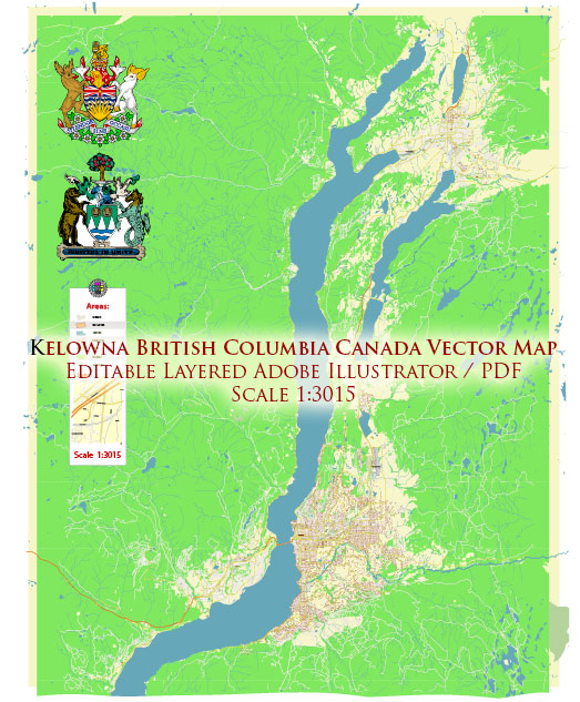
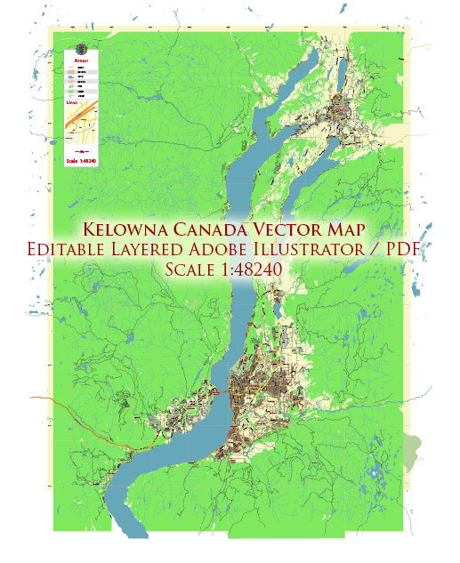
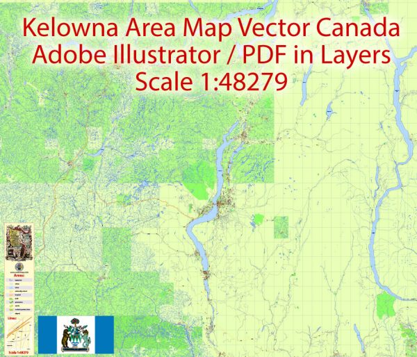
Some information about the political and transportation history of Kelowna, Canada, a general overview and suggest some key points to explore further.
Vectormap.Net provide you with the most accurate and up-to-date vector maps in Adobe Illustrator, PDF and other formats, designed for editing and printing. Please read the vector map descriptions carefully.
Political History:
Indigenous Peoples:
Before European settlement, the area now known as Kelowna was inhabited by various Indigenous peoples, including the Syilx (Okanagan) Nation. These First Nations have a rich cultural history in the region.
European Settlement:
European settlement in the Okanagan Valley began in the mid-19th century, with the fur trade and the influx of gold prospectors. The first European settlers in the Kelowna area were typically engaged in agriculture.
Incorporation and Growth:
Kelowna was incorporated as a city in 1905. Like many Canadian cities, it experienced growth in the early 20th century, fueled by factors such as agriculture, transportation improvements, and the expansion of trade.
Economic Development:
The city’s economy evolved over the years, with agriculture, particularly fruit farming, playing a significant role. As Kelowna grew, it also became a hub for tourism, attracting visitors to its scenic landscapes and outdoor activities.
Transportation History:
Early Transportation:
In the early days, transportation in the region relied on waterways and trails. Steamboats plied the waters of Okanagan Lake, connecting communities and facilitating the movement of goods.
Railways:
The advent of railways played a crucial role in the growth of Kelowna. The Canadian Pacific Railway and later the Canadian National Railway connected the region to broader transportation networks, facilitating the shipment of agricultural products and contributing to economic development.
Road Infrastructure:
The development of road infrastructure became increasingly important as the automobile gained popularity. Improved roads connected Kelowna to other cities and regions, supporting both local transportation and trade.
Airport:
The Kelowna International Airport (YLW) has played a pivotal role in connecting the city to national and international destinations. The airport has seen expansions and improvements over the years to accommodate growing passenger and cargo traffic.
Recent Developments:
Urbanization:
Kelowna has experienced significant urbanization in recent decades, with population growth and increased development. This has led to ongoing discussions about land use, infrastructure, and sustainability.
Transportation Planning:
The city has likely implemented various transportation planning initiatives to address the challenges of urbanization, improve traffic flow, and enhance public transit options.
For the most up-to-date and detailed information, please refer to local historical archives, municipal records, or contact relevant authorities in Kelowna.


 Author: Kirill Shrayber, Ph.D.