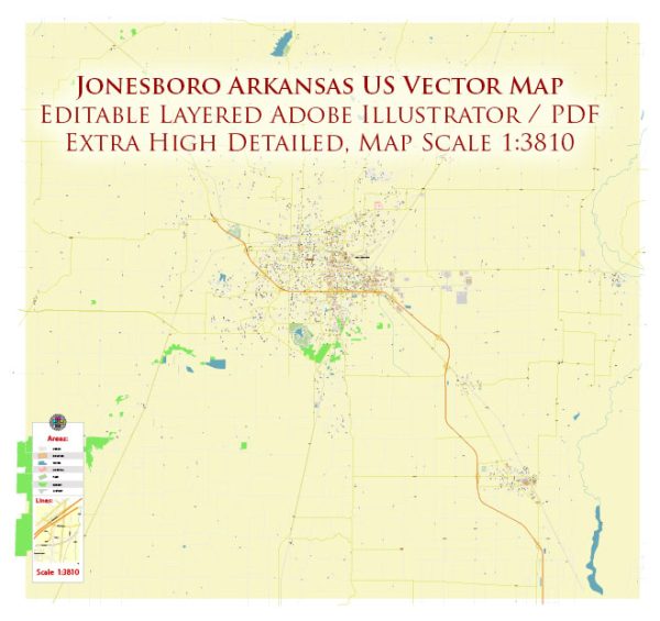
A general overview of Jonesboro, Arkansas, including some aspects of its urban history and street system.
Vectormap.Net provide you with the most accurate and up-to-date vector maps in Adobe Illustrator, PDF and other formats, designed for editing and printing. Please read the vector map descriptions carefully.
Urban History: Jonesboro is the largest city in northeastern Arkansas and serves as the seat of Craighead County. The city’s history dates back to the early 19th century. Originally named Jonesborough after a prominent resident, the city’s name was later shortened to Jonesboro. The town played a crucial role during the Civil War, as it was the site of the Battle of Jonesboro in 1863.
Over the years, Jonesboro has grown into a regional hub for commerce, education, and healthcare. Agriculture, particularly cotton farming, played a significant role in the city’s early economy. Later, the diversification of industries and the presence of Arkansas State University contributed to Jonesboro’s economic development.
Street System: Jonesboro’s street system is typical of many American cities, with a grid pattern prevailing in much of the urban area. Key roads and streets include:
- Main Street: Often a central artery in many cities, Main Street in Jonesboro may have historic buildings, shops, and businesses.
- Johnson Avenue: Another important thoroughfare, Johnson Avenue, may host commercial establishments, residential areas, and connect various parts of the city.
- Red Wolf Boulevard: This road, named after the Arkansas State University mascot, is significant in connecting the university campus to other parts of the city.
- Highway 63: As a major highway, it connects Jonesboro to other cities and regions, facilitating transportation and commerce.
- Parker Road, Caraway Road, Harrisburg Road: These are examples of roads that may traverse different sections of the city, linking residential, commercial, and industrial areas.
Development and Growth: In recent decades, Jonesboro has experienced population growth and economic development. The expansion of educational institutions, healthcare facilities, and various industries has contributed to the city’s vitality. Urban planning and infrastructure development have likely played a role in shaping the cityscape.
Cultural and Recreational Spaces: Jonesboro may have parks, recreational areas, and cultural institutions. These spaces contribute to the quality of life for residents and attract visitors.
Please note that for the most accurate and up-to-date information, you should consult local sources, city planning documents, or recent publications about Jonesboro.


 Author: Kirill Shrayber, Ph.D. FRGS