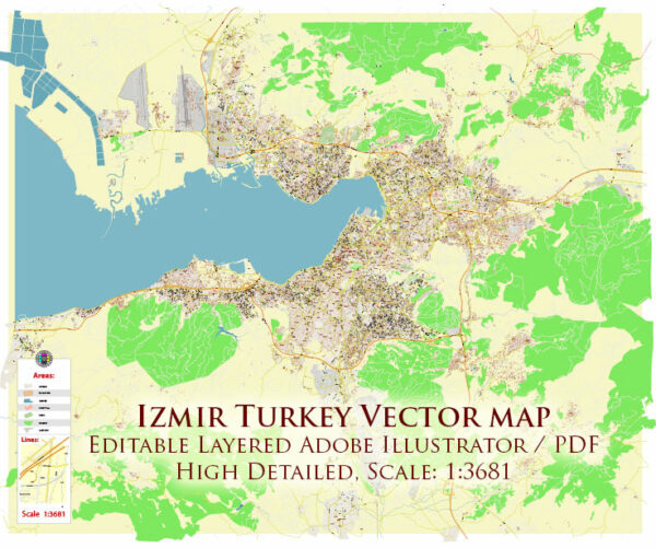
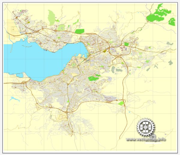
Izmir, historically known as Smyrna, is a city on the western coast of Turkey. Its history is rich and diverse, dating back thousands of years. The road system in Izmir has evolved over time to accommodate the city’s growth and changing transportation needs.
Vectormap.Net provide you with the most accurate and up-to-date vector maps in Adobe Illustrator, PDF and other formats, designed for editing and printing. Please read the vector map descriptions carefully.
Historical Overview:
Ancient Period:
- Izmir’s history can be traced back to the 3rd millennium BCE, making it one of the oldest continuously inhabited cities in the world.
- It was a significant center of trade and culture in the ancient world, with influences from various civilizations, including the Greeks, Romans, Byzantines, and Ottomans.
Greek and Roman Eras:
- Smyrna, as it was called in ancient times, was a major city in the Ionian League during the Greek era.
- It later became part of the Roman Empire, contributing to its importance as a commercial and cultural hub.
- The city experienced prosperity during these periods, leading to the development of various infrastructure, including roads.
Byzantine Period:
- After the fall of the Roman Empire, Izmir came under Byzantine rule.
- The Byzantines maintained and expanded the existing road network, connecting Izmir to other major cities within the Byzantine Empire.
Ottoman Period:
- The Ottoman Turks captured Izmir in the 15th century, and it became an important port city for the Ottoman Empire.
- During the Ottoman period, road systems continued to be improved to facilitate trade and administration.
Modern Era:
Early 20th Century:
- After World War I, Izmir became part of the Republic of Turkey, established in 1923.
- The early decades of the Republic saw efforts to modernize infrastructure, including roads, as part of a broader nation-building project.
Mid to Late 20th Century:
- The city experienced significant population growth and urbanization during the mid to late 20th century.
- The road system expanded to accommodate the increasing population and economic activities.
21st Century:
- Izmir continued to grow and modernize in the 21st century.
- The road network includes a mix of modern highways, bridges, and urban roads to handle both local and regional traffic.
Road System:
Highways:
- Izmir is well-connected to the national highway network, facilitating transportation to other major cities in Turkey.
Urban Roads:
- The city has an extensive network of urban roads to handle intra-city traffic.
- Ring roads and boulevards help ease congestion and improve connectivity within the metropolitan area.
Public Transportation:
- Izmir also has a public transportation system that includes buses and a metro, providing an alternative to private vehicle travel.
In summary, Izmir’s road system has a deep historical context, evolving through various civilizations and historical periods. In the modern era, the city has adapted its infrastructure to meet the demands of a growing population and a dynamic economy, with a well-developed road network catering to both local and regional needs.


 Author: Kirill Shrayber, Ph.D. FRGS