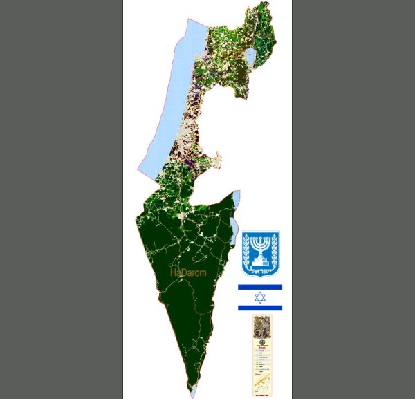
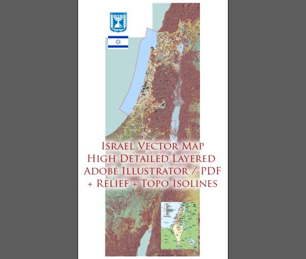
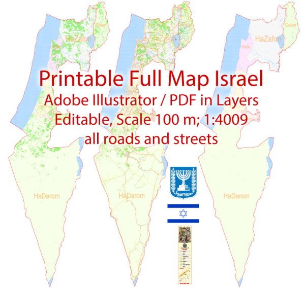
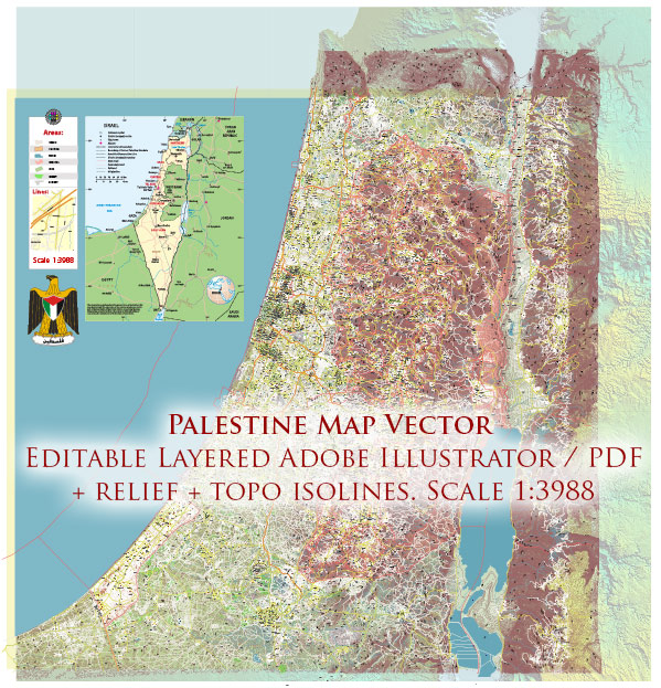
Some of the main cities and principal roads in Israel.
Vectormap.Net provide you with the most accurate and up-to-date vector maps in Adobe Illustrator, PDF and other formats, designed for editing and printing. Please read the vector map descriptions carefully.
Here’s an overview:
Main Cities:
- Jerusalem:
- As the capital of Israel, Jerusalem holds great religious and historical significance. It is home to important religious sites for Judaism, Christianity, and Islam.
- Tel Aviv:
- Known for its vibrant cultural scene and modern architecture, Tel Aviv is a major economic and cultural hub. It is often considered Israel’s financial and technological center.
- Haifa:
- Located on the northern coast, Haifa is a major port city and an industrial center. The city is known for the Bahá’í World Centre, a UNESCO World Heritage Site.
- Beersheba:
- Located in the southern part of Israel, Beersheba is often referred to as the “Capital of the Negev.” It has been a focus of development in the Negev region.
- Eilat:
- Situated at the southernmost tip of Israel on the Red Sea, Eilat is a popular resort city known for its beaches, coral reefs, and vibrant nightlife.
Principal Roads:
- Highway 1 (Derekh Eretz):
- This major east-west highway connects Tel Aviv and Jerusalem. It is a crucial transportation route, facilitating travel between the two most populous cities in Israel.
- Highway 2 (Derekh Haifa):
- Running along the Mediterranean coast, Highway 2 connects the northern and central parts of Israel. It is a key route for transportation and offers scenic views of the coastline.
- Highway 6 (Kvish Shesh):
- Also known as the Trans-Israel Highway, this toll road runs from the northern border with Israel to the southernmost city of Eilat. It provides a faster route through the country.
- Highway 4 (Derekh Arba):
- Stretching along the Mediterranean coast, Highway 4 connects Tel Aviv and Ashdod, passing through several cities and towns along the way.
- Highway 5 (Derekh Hamesh):
- Connecting the central part of Israel to the northern regions, Highway 5 facilitates transportation between Tel Aviv and the cities of Hadera and Haifa.
It’s important to note that Israel has a well-developed road network, and these are just a few examples of the major highways. The country’s transportation infrastructure plays a crucial role in connecting its cities and facilitating economic activities. For the most current and detailed information, it’s recommended to check with local sources or official transportation authorities in Israel.


 Author: Kirill Shrayber, Ph.D. FRGS