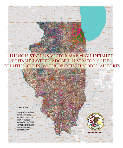
A general overview of some main cities and roadways in Illinois.
Vectormap.Net provide you with the most accurate and up-to-date vector maps in Adobe Illustrator, PDF and other formats, designed for editing and printing. Please read the vector map descriptions carefully.
Main Cities in Illinois:
- Chicago: The largest city in Illinois and the third most populous city in the United States. It is a major financial, cultural, and transportation hub.
- Springfield: The state capital of Illinois, known for its historical significance and landmarks, including the Illinois State Capitol.
- Aurora: Located in the Chicago metropolitan area, Aurora is the second-largest city in the state.
- Rockford: Situated in the northern part of the state, Rockford is known for its manufacturing industry and cultural attractions.
- Peoria: Located along the Illinois River, Peoria is an industrial and agricultural center with a rich history.
- Champaign-Urbana: Home to the University of Illinois, this area is known for its educational institutions and research facilities.
Toll Roads:
Illinois has an extensive network of highways and toll roads managed by the Illinois State Toll Highway Authority (ISTHA). Some of the major toll roads include:
- I-90 Jane Addams Memorial Tollway: Connects Chicago to Rockford and runs northwest through the state.
- I-94 Tri-State Tollway: Forms a semicircle around the Chicago metropolitan area, connecting with Indiana and Wisconsin.
- I-294 Tollway: Also known as the Tri-State Tollway, it serves as a bypass around the western and southern sides of Chicago.
- I-88 Reagan Memorial Tollway: Connects the Chicago area with the Quad Cities region on the western border of Illinois.
Free Roads:
In addition to toll roads, Illinois has an extensive network of free roads, including:
- I-55: Runs from Chicago to the southern tip of the state, passing through Springfield and connecting with other major highways.
- I-57: Travels south from Chicago through central Illinois, connecting with I-55 and I-64.
- I-80: Crosses the northern part of the state, connecting the Quad Cities to the Indiana border.
- I-74: Runs from the Iowa border through Champaign-Urbana and Peoria, continuing into Indiana.
These highways, along with various state routes and local roads, form a comprehensive transportation network throughout Illinois. Always check for the latest traffic conditions and updates before planning your journey. Additionally, the toll system and road infrastructure may have evolved, so it’s recommended to consult official sources for the most current information.


 Author: Kirill Shrayber, Ph.D. FRGS