History of Île-de-France:
The history of Île-de-France is intertwined with the history of France itself. The region has been a focal point of political, economic, and cultural developments for centuries.
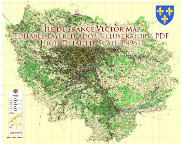
Vectormap.Net provide you with the most accurate and up-to-date vector maps in Adobe Illustrator, PDF and other formats, designed for editing and printing. Please read the vector map descriptions carefully.
- Medieval Period: In the medieval period, Île-de-France, and particularly Paris, became a center of political power under the Capetian dynasty. The construction of iconic landmarks like Notre-Dame Cathedral and the Louvre began during this time.
- Renaissance and Enlightenment: During the Renaissance, the Île-de-France continued to flourish culturally. The reign of Louis XIV, known as the Sun King, saw the expansion and development of Paris as a symbol of royal authority.
- French Revolution: The Île-de-France played a significant role in the French Revolution. The storming of the Bastille, a key event in the revolution, occurred in Paris. The revolutionary spirit and ideas of liberty, equality, and fraternity originated from this region.
- 19th and 20th Centuries: The 19th century witnessed industrialization and urbanization, transforming Île-de-France into a major economic hub. The Eiffel Tower was built as a symbol of progress for the 1889 Exposition Universelle. In the 20th century, Paris played a crucial role in both World Wars, especially during the German occupation in World War II.
- Post-War Period: After World War II, Île-de-France experienced rapid urbanization and demographic growth. The post-war years saw the modernization of infrastructure, including transportation networks, to accommodate the increasing population.
Transportation Infrastructure:
- Roads and Highways: Île-de-France is crisscrossed by an extensive network of roads and highways. The périphérique, a ring road around Paris, helps manage traffic flow within the city. Major highways radiate from Paris to connect with other regions.
- Public Transportation: Paris boasts an extensive and efficient public transportation system. The Paris Métro, inaugurated in 1900, is one of the oldest and busiest metro systems in the world. The RER (Réseau Express Régional) connects Paris with its suburbs and beyond. Buses, trams, and bicycles also contribute to the city’s public transit.
- Airports: Île-de-France is served by several airports, with Charles de Gaulle Airport being one of the busiest in Europe. Orly Airport and Beauvais-Tillé Airport are other significant air transport hubs.
- Railways: France’s high-speed rail network, the TGV (Train à Grande Vitesse), connects Paris with major cities across the country and neighboring countries. The Gare du Nord, Gare de Lyon, and other train stations are key transportation hubs.
- Waterways: Historically, the Seine River has been a vital waterway for transportation. While its significance for cargo transport has diminished, the Seine remains an integral part of the city’s charm, with boat cruises and water taxis serving tourists.
The transportation infrastructure of Île-de-France reflects its historical significance, with a blend of modern systems supporting the region’s dynamic urban and economic activities.


 Author: Kirill Shrayber, Ph.D. FRGS