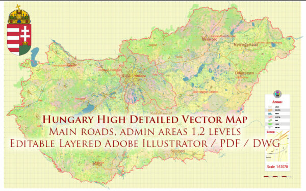
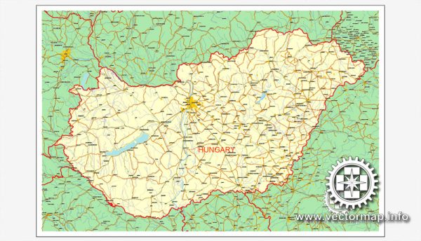
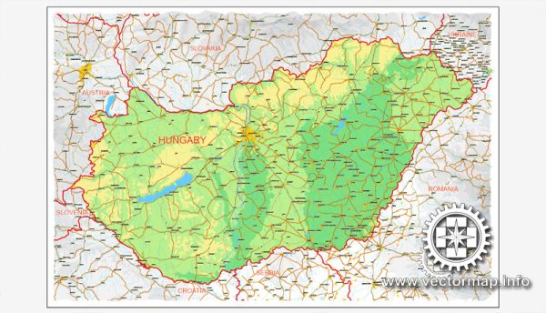
Hungary, located in Central Europe, has a number of significant cities and a well-developed road network.
Vectormap.Net provide you with the most accurate and up-to-date vector maps in Adobe Illustrator, PDF and other formats, designed for editing and printing. Please read the vector map descriptions carefully.
Here’s a brief overview:
Main Cities:
- Budapest:
- Description: The capital and largest city of Hungary, situated on the banks of the Danube River. Budapest is known for its stunning architecture, historic sites, and vibrant cultural scene.
- Key Features: Buda Castle, Fisherman’s Bastion, Chain Bridge, Hungarian Parliament Building, thermal baths (like Széchenyi and Gellért Baths), and Margaret Island.
- Debrecen:
- Description: The second-largest city in Hungary, located in the eastern part of the country. Known for its historical landmarks and cultural heritage.
- Key Features: Great Reformed Church, Calvinist College, Deri Museum, and Hortobágy National Park nearby.
- Szeged:
- Description: Situated in the southern part of Hungary, Szeged is known for its beautiful architecture, vibrant cultural life, and educational institutions.
- Key Features: Votive Church, Szeged University, Dom Square, and Móra Ferenc Museum.
- Miskolc:
- Description: Located in northeastern Hungary, Miskolc is an industrial and cultural hub with a mix of historical and modern elements.
- Key Features: Cave Bath in Miskolctapolca, Diósgyőr Castle, and the Miskolc Zoo.
- Pécs:
- Description: Located in the southwest, Pécs is known for its rich history, diverse architecture, and a lively cultural scene.
- Key Features: Pécs Cathedral, Early Christian Necropolis, Zsolnay Cultural Quarter, and Pécs National Theatre.
Principal Roads:
- M1 Motorway:
- Description: Connects Budapest to Győr and Vienna (Austria).
- M3 Motorway:
- Description: Links Budapest to northeastern Hungary, connecting to cities like Debrecen.
- M5 Motorway:
- Description: Connects Budapest to the southern parts of Hungary, including Szeged.
- M7 Motorway:
- Description: Connects Budapest to the southwestern part of the country, leading to cities like Pécs.
- M30 Motorway:
- Description: Connects Miskolc to the M3 Motorway, facilitating transportation in the northeastern region.
- E60 European Route:
- Description: Crosses Hungary, connecting Budapest to Belgrade (Serbia) in the south.
- E71 European Route:
- Description: Connects Budapest to the western parts of Hungary and further to Zagreb (Croatia).
- Main Roads (Route 1, 2, etc.):
- Description: Hungary has a network of main roads connecting various cities and towns, facilitating regional transportation.
These cities and roads play a crucial role in Hungary’s transportation network, connecting different regions and contributing to the country’s economic and cultural exchange. Keep in mind that developments in infrastructure may occur, so it’s advisable to check for the latest information when planning a journey.


 Author: Kirill Shrayber, Ph.D. FRGS