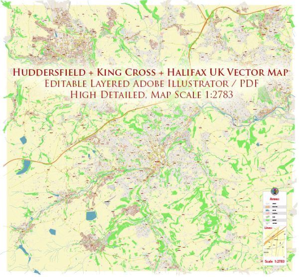
Economic and transport connections in Huddersfield, King Cross, and Halifax in the UK, a general overview based on the typical characteristics of these areas.
Vectormap.Net provide you with the most accurate and up-to-date vector maps in Adobe Illustrator, PDF and other formats, designed for editing and printing. Please read the vector map descriptions carefully.
Huddersfield:
Economic Overview:
Huddersfield is a market town located in West Yorkshire, England. Historically known for its role in the textile industry, the town has diversified its economy over the years. Today, it has a mix of industries, including manufacturing, services, and education.
Transport Connections:
- Rail: Huddersfield is well-connected by rail, with a major train station in the town center. The station provides services to several key cities, including Leeds, Manchester, and Sheffield.
- Road: The town is accessible by major roads, including the M62 motorway, which links it to cities like Leeds and Manchester.
King Cross (Assuming you mean the one in Halifax):
Economic Overview:
Halifax, where King Cross is located, is a town in West Yorkshire with a rich industrial history. Like Huddersfield, it has undergone economic diversification. Financial services, retail, and manufacturing play significant roles in Halifax’s economy.
Transport Connections:
- Rail: Halifax has its own railway station, providing rail links to various destinations, including Leeds and Manchester.
- Road: The town is well-connected by road, with access to major highways such as the M62, facilitating travel to neighboring cities.
Halifax:
Economic Overview:
Halifax is an historic market town with a mix of industries. The economy has evolved from its industrial roots, and today, sectors like finance, retail, and technology contribute significantly to the local economy.
Transport Connections:
- Rail: Halifax has its own railway station with services connecting to other towns and cities in the region.
- Road: The town is accessible by road, and the M62 motorway facilitates transportation to nearby urban centers.
General Regional Transport:
- Bus Services: The region is likely served by local bus services connecting towns and villages.
- Airport Access: Depending on the travel distance, residents might use airports like Leeds Bradford Airport or Manchester Airport for air travel.
- Cycling and Walking: Like many towns in the UK, efforts may be in place to promote cycling and walking as alternative modes of transportation.
Please note that this information is based on general characteristics of these areas, and for the most accurate and up-to-date details, it’s recommended to refer to local authorities, transportation agencies, and economic development offices.


 Author: Kirill Shrayber, Ph.D.