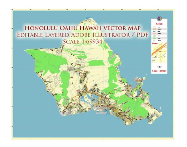
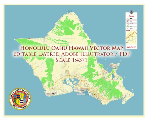
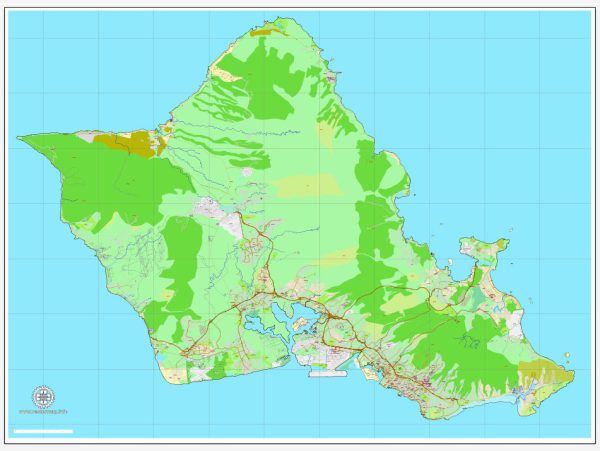
Some general information about Honolulu, Oahu, Hawaii.
Vectormap.Net provide you with the most accurate and up-to-date vector maps in Adobe Illustrator, PDF and other formats, designed for editing and printing. Please read the vector map descriptions carefully.
- Main Coordinates (Approximate):
- Latitude: 21.3069° N
- Longitude: 157.8583° W
- Total Area:
- Oahu, the island on which Honolulu is located, has a total land area of approximately 596 square miles (1,545 square kilometers).
- Main Streets and Roads:
- Honolulu has several main streets and roads. Some notable ones include:
- Ala Moana Boulevard
- Nimitz Highway
- King Street
- Kapiolani Boulevard
- Beretania Street
- H-1 and H-2 highways
- Honolulu has several main streets and roads. Some notable ones include:
Please note that these details are approximate and may have changed. For the most accurate and current information, consider checking with local authorities or using reliable mapping services.


 Author: Kirill Shrayber, Ph.D. FRGS