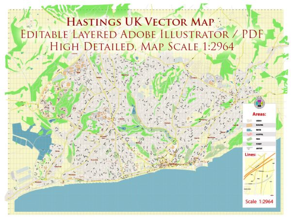
Hastings is a historic town located on the south coast of England, in the county of East Sussex. It has a rich history dating back to prehistoric times, and its transportation infrastructure has evolved over the centuries to accommodate the changing needs of the community.
Vectormap.Net provide you with the most accurate and up-to-date vector maps in Adobe Illustrator, PDF and other formats, designed for editing and printing. Please read the vector map descriptions carefully.
History:
- Early Settlements: Evidence suggests that Hastings has been inhabited since prehistoric times, with archaeological finds indicating the presence of Bronze Age and Iron Age settlements.
- Norman Conquest: The town gained historical significance during the Norman Conquest of England in 1066. The Battle of Hastings, fought nearby at Battle, led to the defeat of King Harold II by William the Conqueror, altering the course of English history.
- Medieval Period: In the medieval period, Hastings developed as a fishing and trading port. The town received a charter in 928 AD, granting it market rights. Fishing played a crucial role in the local economy, and the town grew as a center for the fishing industry.
- Tudor and Stuart Eras: During the Tudor and Stuart eras, Hastings continued to thrive as a port and developed a reputation for shipbuilding. The town also became a popular seaside destination.
- Victorian Era: The Victorian era saw the construction of the iconic Hastings Pier in 1872, which became a symbol of the town’s seaside attractions. The arrival of the railway in the mid-19th century further boosted tourism and accessibility.
- 20th Century: Hastings played a role in both World Wars, with its position along the English Channel making it strategically important. The town underwent post-war reconstruction and redevelopment.
- Contemporary Times: Today, Hastings is a mix of historical charm and modern amenities. It has retained its fishing industry, and tourism continues to be a significant economic driver.
Transportation Infrastructure:
- Railway: The introduction of the railway in the mid-19th century connected Hastings to London and other major cities, significantly improving transportation. The main railway station in Hastings is the Hastings railway station.
- Roads: Hastings is accessible by road, with the A21 connecting it to London and the M25 motorway. Local road networks facilitate transportation within the town and its surrounding areas.
- Bus Services: Public bus services operate within Hastings, providing local transportation options. These services connect the town to nearby communities and attractions.
- Seafront: Hastings has a scenic seafront, and the harbor continues to play a role in the town’s maritime activities. The seafront area is also a popular destination for locals and tourists.
- Airports: While Hastings itself does not have an airport, the town is accessible from airports such as London Gatwick Airport and London Heathrow Airport, which are within reasonable driving distance.
Overall, Hastings’ transportation infrastructure reflects its historical development as a port town and its adaptation to modern transportation needs. The combination of road, rail, and sea connections contributes to the town’s accessibility and attractiveness to residents and visitors alike.


 Author: Kirill Shrayber, Ph.D. FRGS