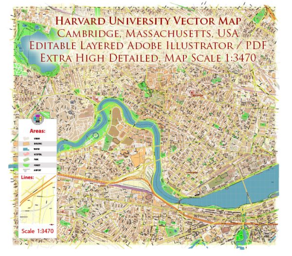
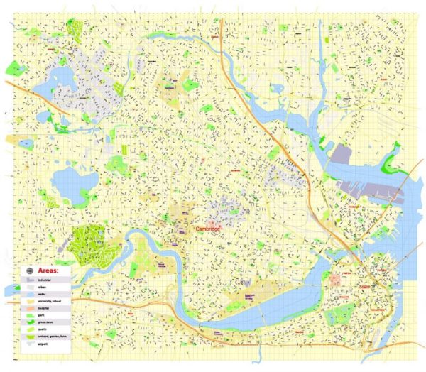
Some information on the main coordinates, total area, and main streets and roads around Harvard University in Cambridge, Massachusetts.
Vectormap.Net provide you with the most accurate and up-to-date vector maps in Adobe Illustrator, PDF and other formats, designed for editing and printing. Please read the vector map descriptions carefully.
A general information about Harvard University’s location:
- Latitude and Longitude: Harvard University is located in Cambridge, Massachusetts, USA. The approximate coordinates for the Harvard Yard area are around 42.373611 latitude and -71.109733 longitude.
- Total Area: Harvard University’s campus is spread across several locations in and around Cambridge, including Harvard Yard and various academic buildings. The total area covered by the university’s facilities can vary. The main campus is known for its historic architecture and green spaces.
- Main Streets and Roads: Harvard University is situated in close proximity to Harvard Square, a bustling commercial and cultural hub in Cambridge. Some main streets and roads around the Harvard Square area include Massachusetts Avenue (Mass Ave), Brattle Street, and John F. Kennedy Street. Harvard Yard itself is a historic quadrangle surrounded by iconic buildings.
To get the most accurate and up-to-date information, please refer to maps, navigation tools, or the official website of Harvard University. Additionally, local resources in Cambridge can provide detailed information about the surrounding area.


 Author: Kirill Shrayber, Ph.D. FRGS