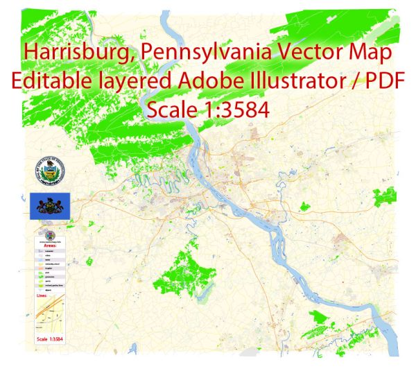
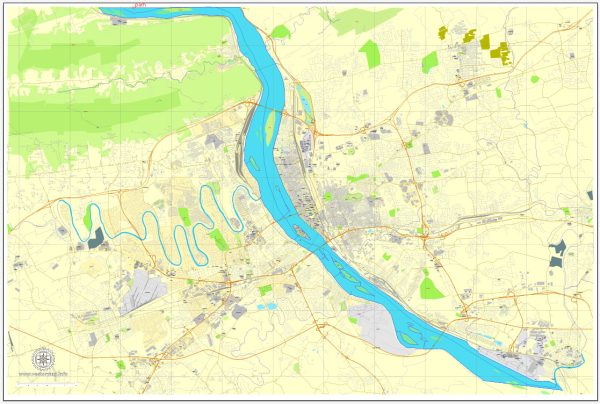
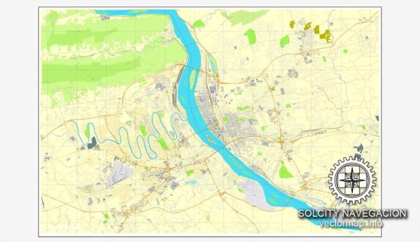
A general overview of the economic and transportation aspects of Harrisburg, Pennsylvania.
Vectormap.Net provide you with the most accurate and up-to-date vector maps in Adobe Illustrator, PDF and other formats, designed for editing and printing. Please read the vector map descriptions carefully.
Economic Overview:
- Diversified Economy: Harrisburg has a diversified economy, with key sectors including government, healthcare, manufacturing, and services. The state government is a major employer, given that Harrisburg is the capital of Pennsylvania.
- Government Employment: The presence of state and local government offices, as well as various government agencies, contributes significantly to the economy. The Pennsylvania State Capitol is located in Harrisburg.
- Healthcare Sector: The healthcare sector is robust, with several hospitals and medical facilities in the region providing employment opportunities and contributing to the local economy.
- Manufacturing and Services: Manufacturing and various services also play a role in the economy, though the specific industries can vary.
Transportation Overview:
- Highways: Harrisburg is well-connected by several major highways, making it a key transportation hub in Pennsylvania. Interstate 81 and Interstate 83 intersect in the city, providing convenient north-south travel routes.
- Rail Transportation: The city has a long history of being a transportation hub due to its location along major rail lines. Amtrak provides passenger rail services, and freight railroads also operate in the area.
- Harrisburg International Airport: Harrisburg International Airport (MDT) serves the region for air travel. It offers both domestic and limited international flights, contributing to the connectivity of the area.
- Public Transportation: Public transportation within the city is facilitated by Capital Area Transit (CAT), which operates bus services. The city is working on improving public transportation to enhance accessibility for residents and commuters.
- River Transportation: The Susquehanna River, flowing through the region, historically played a role in transportation. While not a primary means of transportation today, the river still influences the city’s geography and development.
- Biking and Walking Infrastructure: Efforts have been made to improve biking and walking infrastructure in Harrisburg, promoting alternative and sustainable modes of transportation.
- Logistics and Distribution: Given its strategic location, Harrisburg is a key center for logistics and distribution. Warehousing and transportation companies are attracted to the area due to its accessibility and connectivity.
Please note that economic and transportation landscapes can evolve, so it’s advisable to check more recent sources for the latest information and developments in Harrisburg, Pennsylvania.


 Author: Kirill Shrayber, Ph.D. FRGS