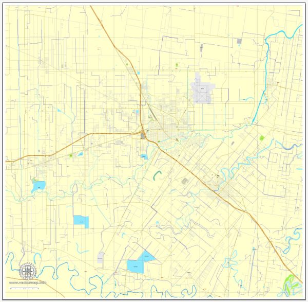
Harlingen is a city located in the Rio Grande Valley of South Texas, USA. Some information about the city’s history and road system.
Vectormap.Net provide you with the most accurate and up-to-date vector maps in Adobe Illustrator, PDF and other formats, designed for editing and printing. Please read the vector map descriptions carefully.
History of Harlingen, Texas:
- Early Settlement:
- Harlingen was officially founded in 1904 by Lon C. Hill, an entrepreneur and land developer.
- The city’s growth was primarily driven by agriculture, with the cultivation of citrus fruits and the establishment of irrigation systems.
- Economic Development:
- The completion of the Harlingen Irrigation District Canal in 1915 facilitated the expansion of agriculture and contributed to the city’s economic development.
- Harlingen played a crucial role in the development of the region’s cotton and vegetable industries.
- Military Presence:
- During World War II, Harlingen hosted an airfield, Harlingen Army Airfield, which later became Harlingen Air Force Base. The military presence significantly influenced the local economy.
- Economic Diversification:
- Over the years, Harlingen has diversified its economy, with healthcare, education, and retail sectors becoming significant contributors.
Road System in Harlingen, Texas:
- Major Highways:
- Interstate 69E (I-69E): This interstate highway runs through Harlingen, connecting the city with the national highway system.
- U.S. Route 77 (US 77): This major north-south highway traverses Harlingen, providing connectivity within the region.
- State Highway 499 (SH 499): Also known as Ed Carey Drive, this state highway serves as a major thoroughfare in Harlingen.
- Local Roads:
- The city has a well-developed network of local roads and streets that facilitate transportation within Harlingen.
- Key arterial roads, such as Tyler Avenue, Wilson Road, and Loop 499, contribute to the local road system.
- Public Transportation:
- The city operates a public transportation system, including buses, to serve residents and visitors.
- Valley Metro provides bus services in Harlingen, connecting the city with other communities in the Rio Grande Valley.
- Transportation Infrastructure Projects:
- Like many growing cities, Harlingen may have ongoing or planned infrastructure projects to improve and expand its road network.
For the most current and detailed information about the history and road system of Harlingen, it’s recommended to check with local historical archives, city planning departments, or official government sources. Local news outlets and city websites may also provide updates on any recent developments or projects in the area.


 Author: Kirill Shrayber, Ph.D. FRGS