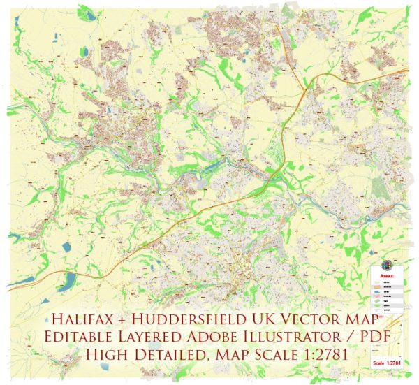
Halifax and Huddersfield are two towns in West Yorkshire, United Kingdom, each with its own unique urban history and street system.
Vectormap.Net provide you with the most accurate and up-to-date vector maps in Adobe Illustrator, PDF and other formats, designed for editing and printing. Please read the vector map descriptions carefully.
Let’s explore them individually:
Halifax:
Urban History:
- Medieval Origins: Halifax has medieval origins, with its name possibly derived from the Old English words “halh” meaning nook or corner and “fax” meaning face. The town’s market charter dates back to 1143.
- Industrial Revolution: Halifax played a significant role in the Industrial Revolution, particularly in the textile industry. The town saw the growth of mills, and its success in the woolen and carpet trades contributed to its economic prosperity.
- Victorian Era: The Victorian era brought further expansion and development. The Piece Hall, a Grade I listed building, was constructed in 1779 as a cloth hall where merchants could trade their wares.
- 19th-century Architecture: Halifax boasts several Victorian and Edwardian buildings, including the Halifax Town Hall and the Borough Market. These structures reflect the architectural styles of the time and contribute to the town’s historical charm.
Street System:
- Grid Layout: The town center has a grid layout, with streets intersecting at right angles. Commercial Street and Market Street are among the main thoroughfares, hosting shops, businesses, and historical landmarks.
- Pedestrianized Areas: To enhance the shopping experience and encourage foot traffic, Halifax has developed pedestrianized zones in the town center. This promotes a more leisurely and accessible environment for residents and visitors.
- Historical Landmarks: The town’s street system often revolves around historical landmarks. The Piece Hall and Halifax Minster, for instance, are central points that influence the layout and flow of nearby streets.
Huddersfield:
Urban History:
- Medieval Origins: Huddersfield’s history dates back to the medieval period. It gained market town status in 1671 and began to grow as a center for the textile industry.
- Industrialization: Like Halifax, Huddersfield played a crucial role in the Industrial Revolution, becoming a hub for the production of textiles and machinery. The construction of the Huddersfield Narrow Canal further facilitated industrial transport.
- Educational Hub: Huddersfield is known for its educational institutions, with the University of Huddersfield having a significant impact on the town’s development and character.
Street System:
- Radial Pattern: Huddersfield’s street system exhibits a radial pattern, with roads leading from the town center outward. Key routes include John William Street and New Street, which radiate from St. George’s Square.
- Market and Commercial Areas: The Huddersfield Open Market and Kingsgate Shopping Centre are central to the town’s commercial activity, influencing the layout of nearby streets.
- Green Spaces: Beaumont Park and Greenhead Park contribute to the town’s aesthetics and affect the layout of surrounding streets, offering residents and visitors recreational spaces.
In summary, both Halifax and Huddersfield have rich histories shaped by industrialization and commerce. Their street systems reflect a combination of medieval roots, Victorian and Edwardian architecture, and contemporary planning that seeks to balance historical preservation with modern functionality.


 Author: Kirill Shrayber, Ph.D. FRGS