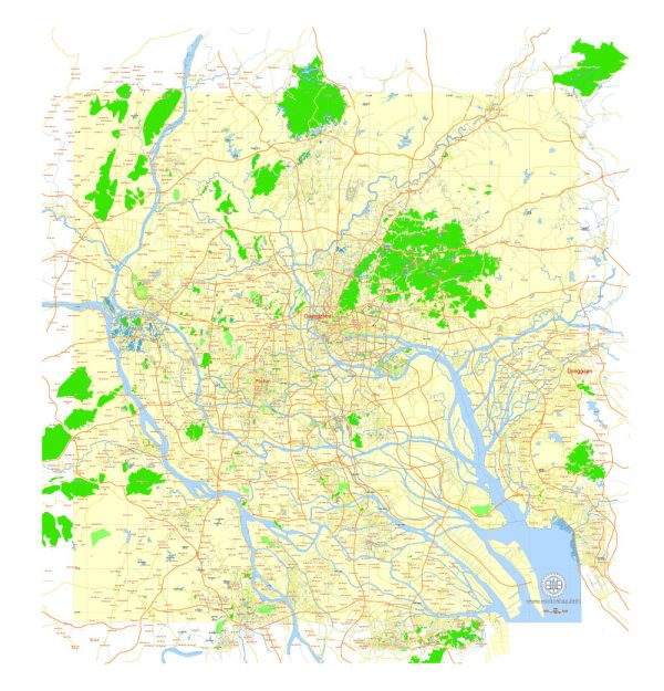
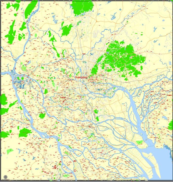
A general overview of the roads and streets infrastructure in Guangzhou, China.
Vectormap.Net provide you with the most accurate and up-to-date vector maps in Adobe Illustrator, PDF and other formats, designed for editing and printing. Please read the vector map descriptions carefully.
Guangzhou is a major city in southern China and serves as the capital of Guangdong Province. It has a well-developed and extensive road network that caters to the city’s large population and economic activities.
Here are some key features of the roads and streets infrastructure in Guangzhou:
- Expressways and Highways:
- Guangzhou is connected to the national expressway network, facilitating efficient transportation to and from other major cities in China.
- The city is served by several expressways, including the Guangzhou-Shenzhen Expressway, Guangzhou-Foshan Expressway, and Guangzhou-Zhuhai West Line Expressway.
- Ring Roads:
- Guangzhou has multiple ring roads that help in managing traffic flow within the city and connecting different districts. The Inner Ring Road and the Middle Ring Road are significant in this regard.
- Boulevards and Major Streets:
- The city features wide boulevards and major streets that are lined with commercial and residential buildings. These streets are crucial for local transportation and are often bustling with activity.
- Public Transportation Corridors:
- Guangzhou has a well-developed public transportation system, including an extensive metro (subway) network, buses, and taxis. The integration of these systems with the road network helps in providing convenient and efficient options for commuters.
- Bicycle Lanes:
- To promote sustainable transportation, Guangzhou has been working on expanding bicycle lanes and promoting bike-sharing programs. These initiatives aim to reduce traffic congestion and encourage eco-friendly commuting.
- Landmark Bridges and Tunnels:
- The city is known for its impressive bridges and tunnels, such as the Haizhu Bridge and the Zhujiang Tunnel. These structures contribute to the efficient movement of traffic across the Pearl River.
- Traffic Management:
- Guangzhou has implemented advanced traffic management systems, including traffic lights, surveillance cameras, and intelligent transportation systems to monitor and control traffic flow.
- Urban Development Projects:
- Like many rapidly growing cities in China, Guangzhou has ongoing urban development projects aimed at improving transportation infrastructure, reducing congestion, and enhancing overall connectivity.
For the latest and most accurate information, it is recommended to consult local transportation authorities or recent sources.


 Author: Kirill Shrayber, Ph.D. FRGS