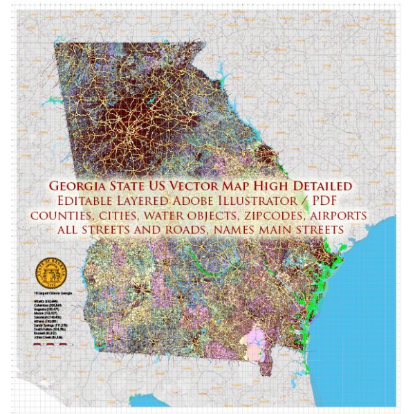
Georgia, located in the southeastern United States, has a rich history and a diverse transportation infrastructure that has evolved over the years.
Vectormap.Net provide you with the most accurate and up-to-date vector maps in Adobe Illustrator, PDF and other formats, designed for editing and printing. Please read the vector map descriptions carefully.
Here’s a detailed overview:
History:
- Indigenous Peoples: The area now known as Georgia was originally inhabited by various indigenous peoples, including the Cherokee and Creek nations.
- Colonial Period: The Spanish were the first Europeans to explore Georgia in the 16th century. In 1732, James Oglethorpe founded the colony of Georgia as a haven for debtors and a buffer against Spanish Florida.
- Revolutionary War: Georgia played a significant role in the American Revolution, with battles such as the Siege of Savannah in 1779. The state became the fourth U.S. state in 1788.
- Antebellum Period: Georgia’s economy thrived on agriculture, primarily cotton, and it became a major slaveholding state. The state was a significant player in the events leading to the Civil War.
- Civil War and Reconstruction: Georgia was a major battleground during the Civil War, with battles like the Battle of Atlanta in 1864. After the war, Georgia faced the challenges of Reconstruction.
- 20th Century and Civil Rights Movement: Georgia underwent significant changes during the 20th century, including industrialization and the Civil Rights Movement. Atlanta, the state capital, became a major hub for the Civil Rights Movement, and notable leaders like Martin Luther King Jr. emerged.
Transportation Infrastructure:
- Roads: Georgia has a well-developed road network. The Georgia Department of Transportation (GDOT) oversees the state’s roads and highways. Atlanta, the capital, is a major transportation hub with several interstate highways converging, including I-75, I-85, and I-20.
- Airports: Hartsfield-Jackson Atlanta International Airport is one of the busiest airports globally, serving as a major connecting hub. Other notable airports include Savannah/Hilton Head International Airport and Augusta Regional Airport.
- Railways: Georgia has an extensive railway network, with freight transport being a crucial aspect. Atlanta, historically known as the “Gate City,” became a transportation hub due to its strategic location for railways.
- Ports: The Port of Savannah is a major deepwater port on the Atlantic Ocean and plays a vital role in the state’s economy, facilitating international trade.
- Public Transportation: Metropolitan Atlanta Rapid Transit Authority (MARTA) provides public transportation services in the Atlanta metropolitan area. Additionally, other cities have bus systems, and there have been efforts to enhance public transportation options.
- Interstate Highways: Georgia is crisscrossed by several interstate highways, facilitating both regional and national connectivity. These highways play a crucial role in transporting goods and people.
- Cycling and Pedestrian Infrastructure: Efforts have been made to enhance cycling and pedestrian infrastructure in urban areas, promoting alternative modes of transportation and improving the overall connectivity.
In summary, Georgia’s history is marked by a rich tapestry of Native American cultures, colonial influences, and pivotal roles in the American Revolution and Civil War. Its transportation infrastructure has evolved to meet the demands of a growing and dynamic state, with a focus on roads, airports, railways, and ports to support economic development and connectivity.


 Author: Kirill Shrayber, Ph.D. FRGS