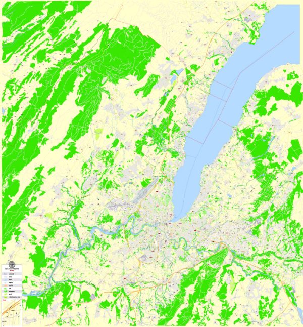
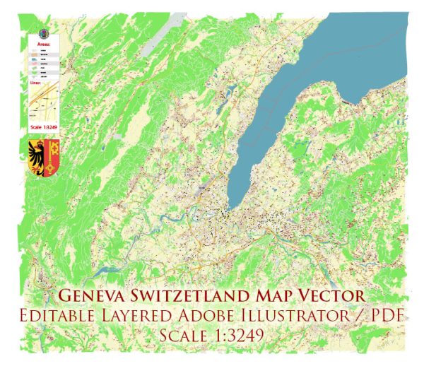
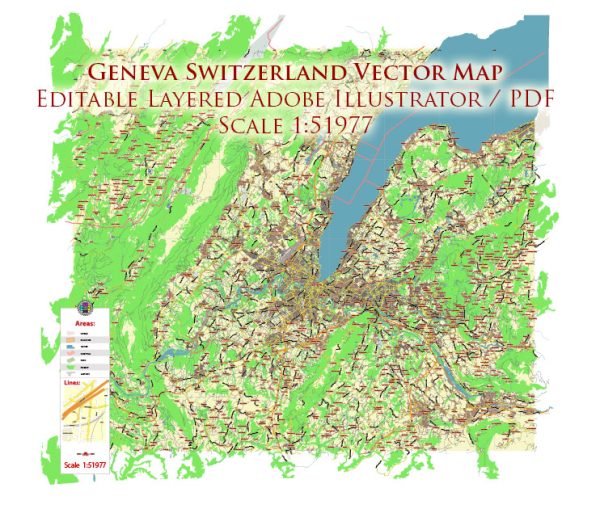
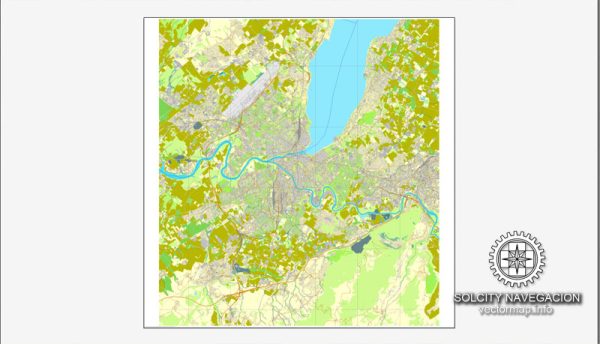
Geneva, located in the western part of Switzerland, is a city with a rich history and a well-developed transportation infrastructure.
Vectormap.Net provide you with the most accurate and up-to-date vector maps in Adobe Illustrator, PDF and other formats, designed for editing and printing. Please read the vector map descriptions carefully.
Here’s a detailed overview:
History:
- Roman Era: The area around Geneva has a history dating back to Roman times. The Romans built a bridge over the Rhône River, and Geneva became a trading and transportation hub.
- Middle Ages: In the Middle Ages, Geneva developed as a center of commerce and culture. It became a bishopric in the 4th century, and the cathedral of St. Peter was constructed during this period.
- 16th Century: Geneva played a significant role in the Protestant Reformation, with John Calvin leading the Reformed Church. The city became a refuge for Protestants fleeing persecution in other parts of Europe.
- 18th and 19th Centuries: Geneva was a center for diplomacy, and in 1864, the Red Cross was founded in the city. The city became a hub for various international organizations and conferences.
- 20th Century: Geneva continued to be a diplomatic center, hosting the League of Nations after World War I and later becoming the European headquarters of the United Nations. The International Red Cross and Red Crescent Movement also expanded its presence in the city.
Transportation Infrastructure:
- Public Transportation:
- Geneva Public Transport (TPG): The city has an efficient public transportation system, including buses, trams, and boats. The TPG operates various lines connecting different parts of the city and the surrounding areas.
- Geneva Tramway: Trams are a popular mode of transport, with multiple lines covering the city. They provide a convenient way for residents and tourists to navigate Geneva.
- Rail Network:
- Geneva Cornavin Railway Station: This is the main railway station in Geneva and is a major transportation hub. It connects Geneva with various Swiss cities and international destinations.
- Airport:
- Geneva Airport (Cointrin Airport): The city is served by Geneva Airport, which is well-connected with major cities across Europe and other continents. It’s a significant international airport, facilitating both business and leisure travel.
- Road Network:
- Motorways and Highways: Geneva is well-connected by road, with several motorways and highways linking it to other Swiss cities and neighboring countries like France. The road network is efficient, making it easy for people to travel by car.
- Lake Geneva Navigation Company:
- Boat Services: The Lake Geneva Navigation Company provides boat services on Lake Geneva, connecting Geneva with other towns and cities along the lake. This offers a scenic and leisurely mode of transportation.
- Biking and Pedestrian Infrastructure:
- Geneva promotes sustainable transportation, and there are dedicated biking lanes and pedestrian-friendly areas throughout the city, encouraging residents and visitors to explore on foot or by bike.
Overall, Geneva’s history and transportation infrastructure reflect its importance as a diplomatic, cultural, and economic center in Switzerland and on the international stage.

 Author: Kirill Shrayber, Ph.D. FRGS