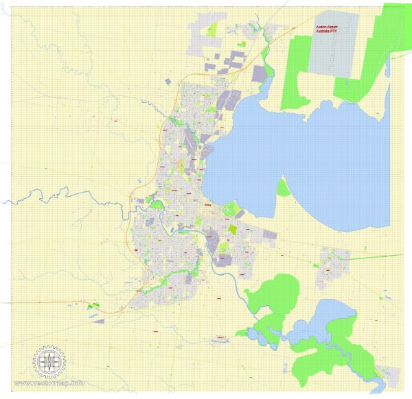
Geelong, located in the state of Victoria, Australia, has a rich industrial history and a well-developed road system.
Vectormap.Net provide you with the most accurate and up-to-date vector maps in Adobe Illustrator, PDF and other formats, designed for editing and printing. Please read the vector map descriptions carefully.
Let’s delve into both aspects:
Industrial History:
1. Early Industries:
Geelong’s industrial history dates back to the 19th century when it primarily revolved around wool production, timber milling, and tanning. The city’s proximity to the Barwon River facilitated transportation of goods, and industries began to flourish.
2. Manufacturing and Innovation:
The 20th century saw Geelong evolve into a major manufacturing hub. The Ford Motor Company established a significant presence in the city, becoming one of the largest employers. Other industries included the production of textiles, chemicals, and metal products.
3. Challenges and Transformations:
Geelong faced economic challenges with the decline of traditional manufacturing industries. The closure of the Ford manufacturing plant in 2016 marked a significant shift. However, the city has made efforts to diversify its economy, with a focus on knowledge-based industries, health, and education.
4. Renewable Energy and Innovation:
In recent years, Geelong has embraced renewable energy and advanced manufacturing. The region is becoming a hub for renewable energy projects, including wind and solar farms. The Advanced Fibre Cluster and the federal government’s commitment to the Geelong City Deal are indicative of the city’s focus on innovation and sustainable industries.
Road System:
1. Early Transportation:
Geelong’s road system developed alongside its industrial growth. Early roads were essential for connecting the city with surrounding agricultural areas, facilitating the transport of goods to and from the port.
2. Princes Highway:
The Princes Highway, a major arterial road, connects Geelong to Melbourne. This road has been crucial for the transportation of people and goods between these two major cities.
3. Ring Road:
Geelong is serviced by the Geelong Ring Road, which provides a bypass around the city and connects major highways. This has helped alleviate traffic congestion and improve transportation efficiency.
4. Public Transport:
Geelong also has a well-developed public transport system, including buses and trains. The Geelong railway station is a key hub, connecting the city with Melbourne and other regional areas.
5. Infrastructure Upgrades:
Over the years, there have been infrastructure upgrades and expansions to accommodate the growing population and economic activities. These include road widening projects, intersection improvements, and investments in public transport infrastructure.
6. Future Developments:
The city continues to plan for the future with infrastructure projects aimed at improving connectivity, enhancing public transport, and supporting sustainable urban development.
In summary, Geelong’s industrial history reflects a transition from traditional manufacturing to a more diversified and innovative economy. The road system, with its key highways and public transport networks, plays a crucial role in supporting the city’s economic activities and connecting it with neighboring regions.


 Author: Kirill Shrayber, Ph.D. FRGS