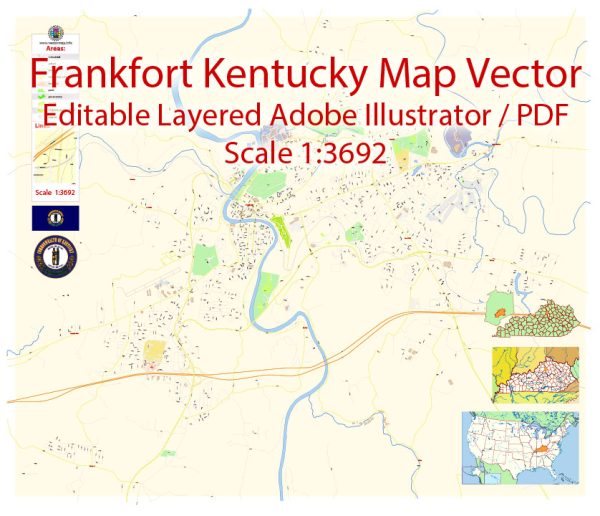
Frankfort, the capital city of Kentucky, is relatively small compared to some of the state’s larger cities. It’s situated along the Kentucky River and is known for its historical sites and government buildings.
Vectormap.Net provide you with the most accurate and up-to-date vector maps in Adobe Illustrator, PDF and other formats, designed for editing and printing. Please read the vector map descriptions carefully.
Main Cities in Kentucky: While Frankfort itself is a significant city due to its role as the state capital, it’s helpful to consider nearby cities that contribute to the regional infrastructure and economy.
- Lexington: About 25 miles east of Frankfort, Lexington is a larger city known for its horse industry, the University of Kentucky, and cultural attractions.
- Louisville: Situated approximately 50 miles northwest of Frankfort, Louisville is the largest city in Kentucky. It’s known for the Kentucky Derby, bourbon distilleries, and a vibrant arts scene.
Toll Roads in Kentucky: As of my last knowledge update in January 2022, Kentucky did not have an extensive toll road system compared to some other states. However, the implementation of toll roads can change, and new projects may have been initiated since then.
Free Roads in Kentucky: Kentucky is well-connected with a network of free roads, including interstates, highways, and state routes. The primary roads providing access to and from Frankfort include:
- Interstate 64 (I-64): Runs east-west and provides access to Frankfort, connecting it to cities like Louisville and Lexington.
- US Route 127: A major north-south highway that runs through Frankfort, connecting the city to other parts of Kentucky.
- KY Route 676 (East-West Connector): This route connects I-64 to US Route 127, providing a convenient way to travel through Frankfort.
Remember that road systems can evolve, and it’s advisable to check for any updates or changes in the road infrastructure, especially concerning toll roads, as new projects may have been implemented since my last update.


 Author: Kirill Shrayber, Ph.D. FRGS