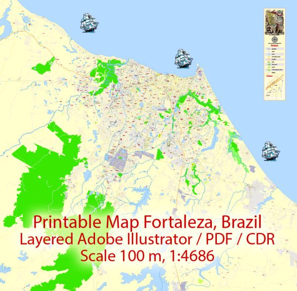
A general overview of the history and transportation infrastructure of Fortaleza, Brazil.
Vectormap.Net provide you with the most accurate and up-to-date vector maps in Adobe Illustrator, PDF and other formats, designed for editing and printing. Please read the vector map descriptions carefully.
History: Fortaleza is the capital city of the state of Ceará in northeastern Brazil. Its history dates back to the early 17th century when it was founded as a small fort to protect the region from Dutch and French invaders. Over time, it grew into a significant urban center, playing a crucial role in the region’s economic and cultural development.
Fortaleza has experienced periods of economic expansion and challenges throughout its history. In the late 19th and early 20th centuries, it became a key center for the production and export of cotton, contributing to its economic prosperity. The city has also faced social and economic issues, but in recent decades, it has become a major tourist destination, known for its beautiful beaches and vibrant culture.
Transportation Infrastructure:
- Airports:
- Pinto Martins International Airport (FOR) is the main airport serving Fortaleza. Located about 8 kilometers south of the city center, it connects Fortaleza to various domestic and international destinations.
- Roadways:
- Fortaleza has a well-developed road network, with highways connecting it to other cities within the state and the broader region. BR-116 and BR-222 are two major federal highways that pass through the city, facilitating both passenger and freight transport.
- Public Transportation:
- Buses: Fortaleza has an extensive bus network operated by various companies. The bus system is a primary mode of transportation for many residents, serving both the city and its suburbs.
- Metro: The city has a metro system, known as the Metrofor, which currently has one line in operation. Additional lines were planned to improve connectivity, and expansions were underway to enhance the metro network.
- Port:
- Fortaleza has a major seaport, the Port of Mucuripe, which handles cargo, including imports and exports. The port plays a vital role in the regional economy and facilitates maritime trade.
- Taxis and Ride-Sharing:
- Taxis and ride-sharing services are widely available in Fortaleza, providing convenient options for local transportation.
- Cycling Infrastructure:
- Fortaleza has been making efforts to enhance cycling infrastructure, with the implementation of bike lanes and bike-sharing programs to promote sustainable transportation.
Fortaleza’s transportation infrastructure has undergone improvements in recent years, reflecting the city’s growth and modernization. To get the latest and most detailed information, it’s recommended to check with local authorities or more recent sources.


 Author: Kirill Shrayber, Ph.D. FRGS