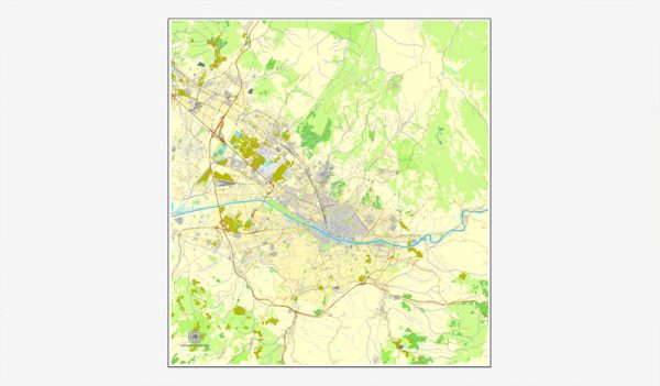
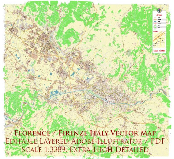
Florence, the capital city of the Tuscany region in Italy, has a rich history dating back to Roman times. Its history is intertwined with art, culture, and commerce, making it one of the most important cities in the development of the Renaissance.
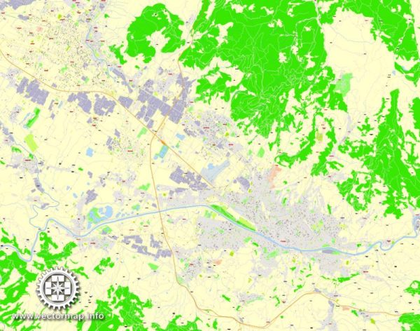
Vectormap.Net provide you with the most accurate and up-to-date vector maps in Adobe Illustrator, PDF and other formats, designed for editing and printing. Please read the vector map descriptions carefully.
Here’s an overview of the history and transportation infrastructure of Florence:
History:
- Roman Origins (59 BC): Florence was founded by Julius Caesar as a settlement for his veteran soldiers in 59 BC. It was initially named Florentia, meaning “flourishing” or “flowering,” reflecting its strategic location along the Via Cassia, an important Roman road.
- Medieval Florence (5th-15th centuries): Florence thrived during the medieval period as a center for trade and finance. The powerful Medici family played a significant role in the city’s political and cultural life. Florence became a leading center for the arts, literature, and philosophy during this time.
- Renaissance (14th-17th centuries): Florence is often regarded as the birthplace of the Renaissance, a period of great cultural and intellectual growth in Europe. Artists like Leonardo da Vinci, Michelangelo, and Botticelli produced masterpieces that define the period. The city-state of Florence was a major player in Italian politics, with the Medici family as prominent rulers.
- Grand Duchy of Tuscany (1569-1859): The Medici rule continued until the 18th century when Florence became part of the Grand Duchy of Tuscany under the Habsburg-Lorraine dynasty. During this time, Florence remained an important cultural and artistic center.
- Italian Unification (19th century): In 1860, Florence became the capital of the newly unified Kingdom of Italy, a role it maintained until 1871 when Rome became the capital.
Transportation Infrastructure:
1. Railways:
- The first railway line connecting Florence to Pistoia was inaugurated in 1848.
- Today, Florence is a major railway hub in Italy, with the main station, Firenze Santa Maria Novella, serving as a central point for national and international rail connections.
2. Roads:
- Florence is well-connected by road networks, including the A1 motorway, which connects it to major Italian cities like Rome and Milan.
- The city has a well-developed network of streets and bridges, and the historic center is characterized by narrow, winding roads.
3. Airports:
- Florence is served by Amerigo Vespucci Airport, located about 8 kilometers from the city center. It handles both domestic and international flights.
4. Public Transportation:
- Florence has an extensive public transportation system, including buses and trams, operated by ATAF. There’s also a bike-sharing program and pedestrian-friendly areas within the city.
5. Bridges:
- The Arno River flows through Florence, and several bridges, such as the iconic Ponte Vecchio, connect the two banks of the city.
6. Modern Developments:
- In recent years, efforts have been made to enhance sustainable transportation, with the promotion of cycling and pedestrian-friendly initiatives.
Florence remains a cultural and historical gem, attracting tourists and scholars from around the world. Its transportation infrastructure reflects a blend of historical charm and modern functionality, facilitating movement within the city and connecting it to the broader Italian and European networks.


 Author: Kirill Shrayber, Ph.D.