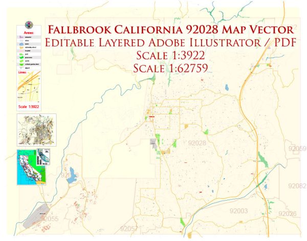
Fallbrook is a charming community located in northern San Diego County, California, United States. While Fallbrook is known for its agricultural heritage and scenic beauty, its road system is an integral part of the town’s infrastructure.
Vectormap.Net provide you with the most accurate and up-to-date vector maps in Adobe Illustrator, PDF and other formats, designed for editing and printing. Please read the vector map descriptions carefully.
History of Fallbrook:
- Early Settlement: Fallbrook’s history dates back to the 1860s when it was settled by English and Scottish immigrants. The area’s fertile soil made it ideal for agriculture, and citrus groves became a significant part of the landscape.
- Agricultural Heritage: The region developed into a major agricultural hub, earning Fallbrook the title of “Avocado Capital of the World.” In addition to avocados, other crops like citrus fruits, tomatoes, and flowers have also been important to the local economy.
- Community Growth: Fallbrook experienced gradual growth throughout the 20th century. It evolved from a primarily agricultural community into a mix of residential, commercial, and agricultural areas.
Road System in Fallbrook:
- Main Highways: Fallbrook is accessible through several main highways, including Interstate 15 (I-15), which runs north-south and serves as a major transportation route in the region. State Route 76 (SR-76) is another significant highway that passes through Fallbrook, connecting it to neighboring communities.
- Local Roads: Fallbrook’s local road system is designed to accommodate both residents and visitors. The town’s grid-like layout is relatively easy to navigate, with well-maintained roads connecting various neighborhoods, commercial areas, and agricultural regions.
- Bonsall Bridge: The Bonsall Bridge, also known as the Gird Road Bridge, is a notable local structure. It spans the San Luis Rey River and provides a crucial link between Fallbrook and the neighboring community of Bonsall.
- Traffic Management: As with many suburban areas, Fallbrook has implemented traffic management strategies to address the needs of its growing population. Traffic signals, signage, and road maintenance are essential components of the local infrastructure.
- Public Transportation: While Fallbrook is primarily a car-dependent community, there are regional public transportation options available. Bus services connect Fallbrook to other parts of San Diego County, providing an alternative for those who prefer not to drive.
- Cycling and Pedestrian Infrastructure: Efforts have been made to enhance cycling and pedestrian infrastructure in Fallbrook. Sidewalks, crosswalks, and bike lanes contribute to the safety and accessibility of the town for non-motorized transportation.
In summary, Fallbrook’s history is deeply intertwined with agriculture, and its road system reflects the evolution of the community from a rural enclave to a more diverse and interconnected town. The road infrastructure plays a crucial role in supporting the local economy, facilitating transportation, and connecting Fallbrook to the broader San Diego County region.


 Author: Kirill Shrayber, Ph.D. FRGS