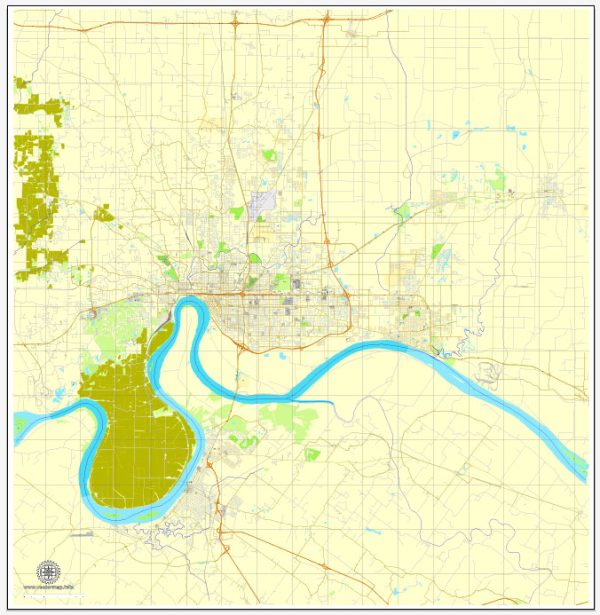
A general overview of the road and street infrastructure in Evansville, Indiana.
Vectormap.Net provide you with the most accurate and up-to-date vector maps in Adobe Illustrator, PDF and other formats, designed for editing and printing. Please read the vector map descriptions carefully.
Evansville is a city located in southwestern Indiana, and its road and street infrastructure is designed to accommodate the needs of both residents and visitors. Some key aspects of Evansville’s road network include:
- Interstate Highways:
- Interstate 69 (I-69): This major interstate highway runs north-south and connects Evansville with other cities in Indiana and neighboring states.
- U.S. Highways:
- U.S. Route 41 (US 41): A north-south highway that passes through Evansville and connects it to other cities in Indiana and beyond.
- State Highways:
- Indiana State Road 62 (IN-62): An east-west state highway that passes through Evansville, providing local and regional connectivity.
- City Streets:
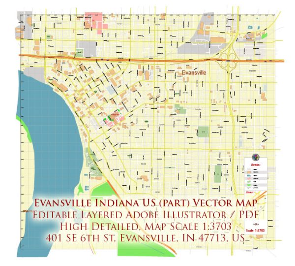
- Evansville has a grid-like street layout in its downtown area, with numbered streets running north-south and named streets running east-west.
- Main thoroughfares like Riverside Drive, Lloyd Expressway (Indiana 62), and Green River Road serve as major arteries facilitating transportation within the city.
- Bridges:
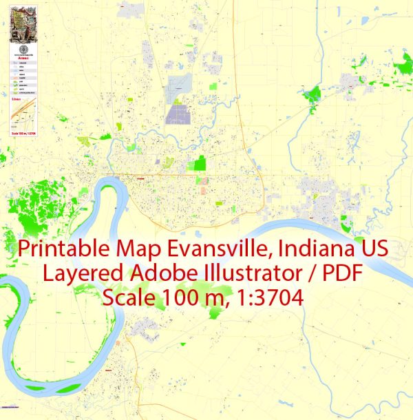
- The city is situated on the Ohio River, and several bridges connect Evansville to Henderson, Kentucky, on the opposite bank.
- The Twin Bridges, formally known as the Bi-State Vietnam Gold Star Bridges, are important river crossings connecting Evansville with Henderson.
- Public Transportation:
- Evansville has a public transportation system operated by the Metropolitan Evansville Transit System (METS). This includes bus services that cover various routes within the city and nearby areas.
- Cycling Infrastructure:
- Efforts have been made to enhance cycling infrastructure, with designated bike lanes and trails promoting alternative modes of transportation.
- Road Maintenance and Development:
- The city regularly maintains and upgrades its roads to meet the growing demands of the community. This includes road repairs, expansions, and improvements to enhance safety and efficiency.
For the most accurate and current information on Evansville’s road and street infrastructure, you may want to check with local government agencies, such as the Evansville Department of Transportation or the Indiana Department of Transportation, or refer to updated maps and transportation resources provided by the city.

 Author: Kirill Shrayber, Ph.D.