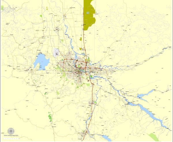
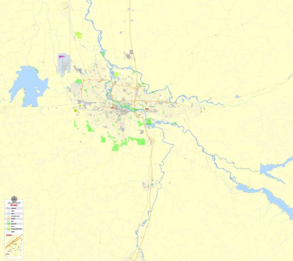
Eugene and Springfield are neighboring cities in the state of Oregon, USA, and they are part of the larger metropolitan area known as the Eugene-Springfield metropolitan statistical area (MSA).
Vectormap.Net provide you with the most accurate and up-to-date vector maps in Adobe Illustrator, PDF and other formats, designed for editing and printing. Please read the vector map descriptions carefully.
- Economic Overview:
- Diversity of Economy: The economy of Eugene-Springfield is diverse, with sectors such as education, healthcare, technology, and manufacturing playing significant roles. The University of Oregon, located in Eugene, is a major contributor to the region’s economy.
- Technology and Innovation: The region has seen growth in the technology and startup sectors, with companies contributing to the innovation ecosystem.
- Healthcare: The healthcare sector is substantial, with hospitals and medical facilities serving the local community and beyond.
- Transportation Connections:
- Roadways: Eugene and Springfield are well-connected by a network of highways and roads. Interstate 5 (I-5) is a major north-south freeway that passes through the area, providing a crucial transportation link. Other significant roads include Oregon Route 126 and Oregon Route 569.
- Public Transportation: The Lane Transit District (LTD) provides public bus transportation in the area, connecting various neighborhoods within Eugene and Springfield.
- Airport: The Eugene Airport (Mahlon Sweet Field) serves the region, offering both domestic and limited international flights. It plays a crucial role in connecting the area to other parts of the country.
- Rail Services: While there is no direct passenger rail service, freight railroads operate in the region, supporting the transportation of goods.
- Education:
- University of Oregon: The University of Oregon, located in Eugene, is a major educational institution with a significant impact on the local economy. It contributes to research, education, and cultural activities.
- Cultural and Recreational Connections:
- Cultural Events: The cities host various cultural events, including music festivals, art exhibitions, and theater performances. The Hult Center for the Performing Arts in Eugene is a notable venue for cultural events.
- Outdoor Recreation: The area is surrounded by natural beauty, and outdoor recreational activities such as hiking, biking, and water sports are popular. The Willamette River runs through both cities, providing opportunities for outdoor enthusiasts.
- Collaboration and Regional Integration:
- Collaboration: Eugene and Springfield often collaborate on regional issues, recognizing the interconnected nature of their economies and communities.
- Regional Planning: Regional planning efforts may include coordination on transportation infrastructure, economic development, and environmental initiatives.
For the most up-to-date information, it is recommended to consult local government websites, chamber of commerce resources, and recent news articles covering developments in the Eugene-Springfield area.


 Author: Kirill Shrayber, Ph.D.