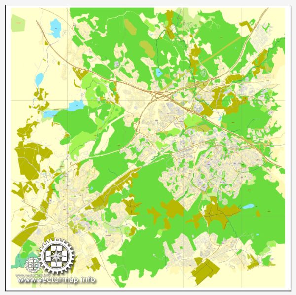
Espoo is the second-largest city in Finland, located in the southern part of the country. It is part of the Greater Helsinki metropolitan area and plays a significant role in the region’s economic and technological development.
Vectormap.Net provide you with the most accurate and up-to-date vector maps in Adobe Illustrator, PDF and other formats, designed for editing and printing. Please read the vector map descriptions carefully.
Here is a detailed overview of the history and transportation infrastructure of Espoo:
History:
- Early Settlements: Espoo has a rich history dating back to prehistoric times. Archaeological findings suggest human habitation in the area as early as the Stone Age.
- Medieval Period: The medieval Espoo Parish was established in the 13th century. The area developed as an agricultural community, with several villages and manors scattered across the region.
- Industrialization: The late 19th and early 20th centuries saw industrialization and urbanization in Espoo. The construction of the railroad, connecting Helsinki to western Finland, contributed to the growth of Espoo.
- Post-World War II Development: After World War II, Espoo experienced significant population growth and urban expansion. The city transformed from a primarily rural area into a modern suburban municipality.
- Technology Hub: In recent decades, Espoo has become a hub for technology and innovation, hosting many high-tech companies and research institutions. The presence of the Otaniemi campus, home to Aalto University and numerous tech startups, has solidified Espoo’s reputation as a center for research and development.
Transportation Infrastructure:
- Road Network: Espoo is well-connected by road networks, with several major highways passing through the city. The Ring I and Ring II highways provide essential links to other parts of the Greater Helsinki area.
- Public Transportation: Espoo is served by an extensive public transportation system, including buses and metro services. The Helsinki Metro extension to Espoo was completed in 2017, enhancing connectivity within the metropolitan region.
- Rail Transportation: Espoo is connected to the national rail network, providing convenient rail travel options for residents and visitors. The railway station in Espoo is a key transportation hub.
- Cycling Infrastructure: The city has invested in cycling infrastructure, promoting sustainable and environmentally friendly transportation. Well-maintained cycling paths contribute to the ease of commuting by bike.
- Seaports: Although Espoo is not directly on the coast, it benefits from the nearby ports of Helsinki, providing access to maritime transportation for goods and passengers.
- Airports: Helsinki-Vantaa Airport, one of the busiest airports in Finland, is located nearby, offering international and domestic flights. Espoo residents have easy access to air travel for both business and leisure purposes.
- Future Developments: As of my knowledge cutoff in January 2022, there were ongoing discussions and plans for further developments in Espoo’s transportation infrastructure to accommodate the growing population and enhance connectivity within the metropolitan area.
Overall, Espoo’s history reflects its evolution from a rural settlement to a modern, technologically advanced city with a well-developed and diverse transportation infrastructure.


 Author: Kirill Shrayber, Ph.D. FRGS