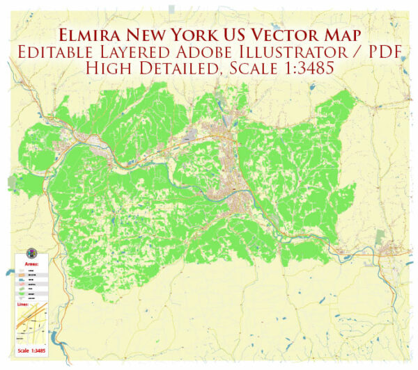
Elmira, a city located in Chemung County, New York, has a rich history and a well-developed transportation infrastructure.
Vectormap.Net provide you with the most accurate and up-to-date vector maps in Adobe Illustrator, PDF and other formats, designed for editing and printing. Please read the vector map descriptions carefully.
Here’s a detailed overview:
History:
- Early Settlement: Elmira’s history dates back to the late 18th century when European settlers began establishing communities in the area. The Sullivan Expedition of 1779 played a role in opening up the region for settlement.
- Formation of Elmira: The village of Elmira was officially incorporated in 1828. The city’s name is believed to be derived from the beautiful groves of elm trees in the area.
- Civil War Connection: Elmira gained prominence during the Civil War when it hosted a major Union Army prison camp called Camp Rathbun. The camp held Confederate prisoners of war, and today, Woodlawn National Cemetery stands as a memorial to those who died there.
- Industrialization and Growth: In the late 19th and early 20th centuries, Elmira experienced industrial growth. The city became a hub for manufacturing, with industries such as railroads, foundries, and the development of the Elmira Knitting Mill.
- Cultural and Educational Hub: Elmira has been a cultural and educational center, hosting institutions like Elmira College, which was founded in 1855.
Transportation Infrastructure:
- Railroads: Elmira played a crucial role in the development of railroads in the 19th century. The Erie Railroad and the Northern Central Railway were important lines that connected Elmira to major cities, facilitating the transportation of goods and passengers.
- Elmira-Corning Regional Airport: The Elmira-Corning Regional Airport serves the city and surrounding areas. Located southwest of Elmira, the airport provides domestic flights, connecting the region to major hubs.
- Highways: Elmira is well-connected by highways, including Interstate 86 (I-86) and New York State Route 17 (NY-17). These roads link Elmira to the broader transportation network, facilitating travel within the region and beyond.
- Public Transportation: The Chemung County Transit System provides bus services in and around Elmira, offering public transportation options for residents.
- Waterways: While not a major port city, Elmira’s history is intertwined with the Chemung River. Historically, waterways were important for transportation, though their significance has diminished with the rise of railroads and highways.
- Biking and Pedestrian Infrastructure: Elmira has been working on developing biking and pedestrian-friendly infrastructure, including trails and paths, to promote alternative modes of transportation and recreational activities.
Overall, Elmira’s history is marked by its contributions to the nation during the Civil War, industrial growth, and its continued development as a regional hub with a diverse transportation infrastructure.


 Author: Kirill Shrayber, Ph.D. FRGS