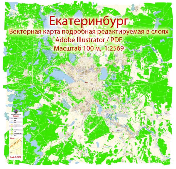
A general overview of the history and transportation infrastructure of Yekaterinburg, Russia.
Vectormap.Net provide you with the most accurate and up-to-date vector maps in Adobe Illustrator, PDF and other formats, designed for editing and printing. Please read the vector map descriptions carefully.
History:
Early History:
- Yekaterinburg, located in the Ural Mountains, has a rich history dating back to the 18th century. It was founded in 1723 by Vasily Tatishchev and Georg Wilhelm de Gennin, and initially served as a metallurgical center.
Industrialization:
- The city played a significant role in the industrialization of Russia during the 19th century, becoming a major center for mining and metallurgy.
- Yekaterinburg gained prominence as an important economic and cultural hub.
Soviet Era:
- During the Soviet era, Yekaterinburg, known as Sverdlovsk from 1924 to 1991, continued to be an industrial powerhouse, producing a variety of goods, including machinery, metals, and military equipment.
Post-Soviet Period:
- After the dissolution of the Soviet Union in 1991, the city reverted to its historical name, Yekaterinburg.
- The post-Soviet era saw economic changes, with a shift towards a more diversified economy, including finance, services, and technology.
Transportation Infrastructure:
Airports:
- Yekaterinburg is served by Koltsovo International Airport, one of the largest and busiest airports in the Urals region.
- The airport provides domestic and international flights, connecting Yekaterinburg to various cities around the world.
Railways:
- The city has a well-developed railway network, being a major rail hub in the region.
- Yekaterinburg’s main railway station is a key transportation hub, connecting it to major cities across Russia and beyond.
Roads and Highways:
- Yekaterinburg is well-connected by a network of roads and highways, facilitating transportation within the city and to other regions.
- The Trans-Siberian Highway, a major federal highway, passes through the city, connecting it to other parts of Russia.
Public Transportation:
- Yekaterinburg has an extensive public transportation system, including buses and trams, providing convenient travel within the city.
- The metro system, opened in 1991, consists of a single line and serves various parts of Yekaterinburg.
Future Developments:
- The city continues to invest in improving its transportation infrastructure, with plans for further developments in roads, public transportation, and connectivity.
For the latest and most accurate information, it is recommended to consult more recent sources or official city updates, as infrastructure and development plans can change over time.


 Author: Kirill Shrayber, Ph.D. FRGS