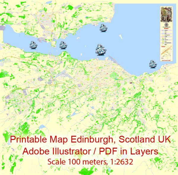
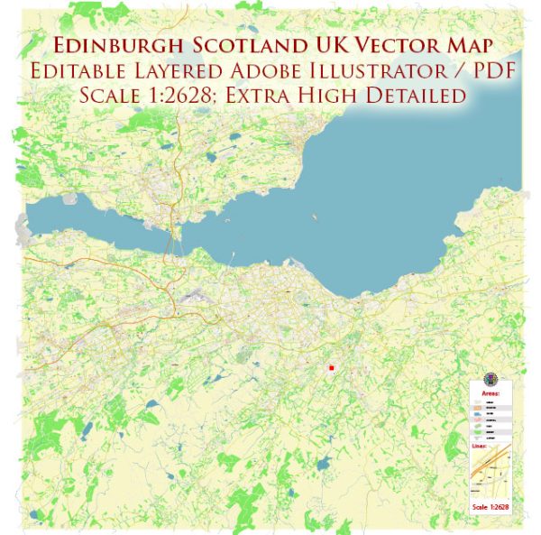
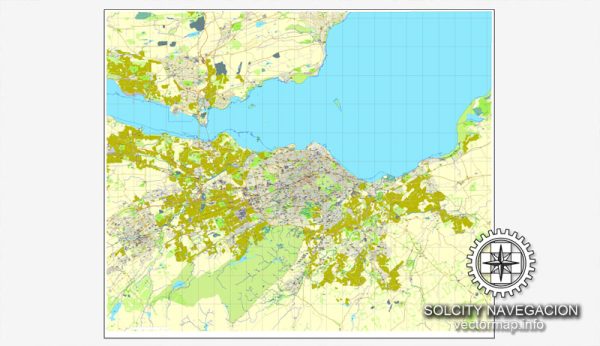
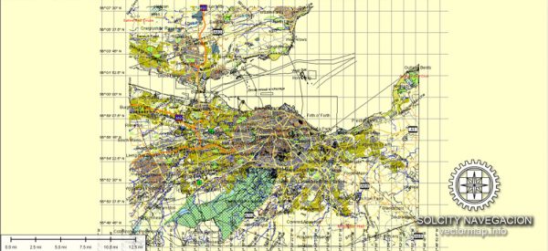
Edinburgh, the capital city of Scotland, has a rich history and a well-developed transportation infrastructure.
Vectormap.Net provide you with the most accurate and up-to-date vector maps in Adobe Illustrator, PDF and other formats, designed for editing and printing. Please read the vector map descriptions carefully.
Here’s a detailed overview:
History:
Early History:
- Prehistoric Settlements: The area around Edinburgh has been inhabited since the Bronze Age, with evidence of prehistoric settlements and forts.
- Roman Influence: While the Romans had a presence in southern Scotland, Edinburgh itself wasn’t a major Roman settlement. The Antonine Wall, a Roman fortification, lies to the north of the city.
Medieval Period:
- Castle and Royal Mile: Edinburgh Castle, perched on Castle Rock, has been a central landmark since the 12th century. The Royal Mile, a historic street connecting the castle to the Holyrood Palace, developed during this time.
- St. Giles’ Cathedral: Built in the 14th century, St. Giles’ Cathedral is a significant religious and architectural landmark.
17th and 18th Centuries:
- Union of Parliaments: In 1707, the Acts of Union united the Parliaments of England and Scotland, forming the Kingdom of Great Britain. This marked a significant political change for Edinburgh.
- Enlightenment: Edinburgh became a center for intellectual and cultural advancements during the Scottish Enlightenment in the 18th century. Notable figures like David Hume and Adam Smith contributed to this period.
19th Century:
- Industrialization: Edinburgh experienced growth during the Industrial Revolution, though it wasn’t as heavily industrialized as some other cities. It became a hub for finance, education, and administration.
20th Century to Present:
- Modernization: Post-World War II, Edinburgh continued to modernize, balancing its historic charm with contemporary development.
- Devolution: The establishment of the Scottish Parliament in 1999 gave Scotland, including Edinburgh, greater autonomy.
Transportation Infrastructure:
Roads and Highways:
- Major Roads: Edinburgh is well-connected by road networks. The M8, M9, and A720 City Bypass are major arterial routes.
- City Bypass: The A720 City Bypass, completed in 1994, helps ease traffic congestion in the city center.
Public Transportation:
- Buses: Lothian Buses operates an extensive network covering the city and surrounding areas.
- Trams: The Edinburgh Trams service, introduced in 2014, connects the city center with the airport and other key areas.
Railways:
- Waverley Station: Edinburgh Waverley is the main railway station, connecting the city with various destinations across the UK.
- Suburban Rail Services: Local rail services connect Edinburgh with surrounding towns and suburbs.
Air Transport:
- Edinburgh Airport: Located to the west of the city, Edinburgh Airport is a major international gateway.
Cycling and Walking:
- Cycle Paths: Edinburgh has invested in cycling infrastructure, with dedicated cycle paths and bike-sharing schemes.
- Pedestrian Zones: The city center has pedestrian-friendly zones, encouraging walking.
Future Developments:
- City Center Improvements: Ongoing efforts focus on enhancing the city center for pedestrians and cyclists.
- Transport Initiatives: Continued investments in public transportation and sustainable mobility.
Edinburgh’s history and transportation infrastructure reflect a balance between preserving its historical heritage and adapting to modern needs, making it a dynamic and culturally rich city.


 Author: Kirill Shrayber, Ph.D. FRGS