Düsseldorf is a city located in western Germany, known for its rich history, vibrant culture, and economic significance. The history of Düsseldorf dates back to the 7th century when it was founded as a fishing village on the eastern bank of the Rhine River. Over the centuries, it grew in importance, becoming a market town and later a residence for dukes and kings.
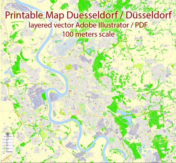
Vectormap.Net provide you with the most accurate and up-to-date vector maps in Adobe Illustrator, PDF and other formats, designed for editing and printing. Please read the vector map descriptions carefully.
Here’s a brief overview of the history and transportation infrastructure of Düsseldorf:
History:
- Medieval Period (7th-14th century):
- Düsseldorf’s origins can be traced back to the 7th century when it was a small fishing village.
- The town gained importance in the 12th century when the Counts of Berg built a castle in the area.
- Rise of Trade and Commerce (15th-18th century):
- Düsseldorf became a market town and experienced economic growth during the Renaissance.
- In the 17th century, it became the capital of the Duchy of Berg.
- The city developed as a cultural and economic center, attracting artists and traders.
- Industrialization and Modernization (19th-20th century):
- The 19th century saw the industrialization of Düsseldorf, with the establishment of manufacturing and industrial enterprises.
- It played a significant role in the art scene, particularly in the fields of painting and architecture.
- The city suffered damage during World War II but underwent reconstruction and rapid growth in the post-war period.
- Contemporary Era (21st century):
- Düsseldorf has continued to thrive as an economic hub, known for its finance, fashion, and telecommunications industries.
- It hosts numerous trade fairs and exhibitions, contributing to its global significance.
Transportation Infrastructure:
- Public Transport:
- Düsseldorf has a well-developed public transportation system, including buses, trams, and trains.
- The Rheinbahn operates the city’s public transport network, connecting various neighborhoods and suburbs.
- Railway Connections:
- The city is a major railway hub, with connections to domestic and international destinations.
- Düsseldorf Hauptbahnhof (central station) is a major railway station, providing efficient rail services.
- Air Travel:
- Düsseldorf International Airport (DUS) is one of the busiest airports in Germany.
- It serves as a major gateway for international and domestic flights.
- Road Network:
- The city is well-connected by an extensive road network, including highways and local roads.
- The Rhine River is a key waterway, facilitating the transport of goods.
- Cycling Infrastructure:
- Düsseldorf has been investing in cycling infrastructure, promoting sustainable transportation.
- The city features bike lanes and rental systems to encourage cycling.
- Ports:
- The Port of Düsseldorf on the Rhine River is an inland port, handling cargo and contributing to the city’s industrial activities.
Düsseldorf’s history and transportation infrastructure reflect its evolution from a medieval settlement to a modern and dynamic urban center with a strong emphasis on commerce, culture, and connectivity.

 Author: Kirill Shrayber, Ph.D. FRGS