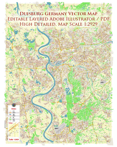
Duisburg is a city in the western part of Germany, located in the North Rhine-Westphalia region. It is a significant industrial and commercial hub with a rich history and a well-developed transportation infrastructure.
Vectormap.Net provide you with the most accurate and up-to-date vector maps in Adobe Illustrator, PDF and other formats, designed for editing and printing. Please read the vector map descriptions carefully.
Here’s a detailed overview of the history and transportation infrastructure of Duisburg:
History:
- Early History: Duisburg has a long history that dates back to the Roman period. The Romans established a military camp, known as Castrum Duisburg, around the 1st century AD. Over time, Duisburg evolved into a thriving trading center.
- Medieval Period: In the Middle Ages, Duisburg became a member of the Hanseatic League, a powerful commercial and defensive confederation of merchant guilds and their market towns in Northwestern and Central Europe. The city experienced economic growth through trade and commerce.
- Industrialization: The 19th century brought significant industrialization to Duisburg. The city became a major center for coal and steel production. The development of the Ruhr region as an industrial powerhouse played a crucial role in Duisburg’s growth.
- World Wars: Like many cities in Germany, Duisburg faced significant destruction during World War II. The reconstruction efforts post-war were extensive, and the city played a vital role in the post-war economic recovery.
- Post-War Era: Duisburg continued to grow in the post-war era, becoming a key player in Germany’s industrial and economic landscape. The city underwent urban development, and its industrial base expanded further.
Transportation Infrastructure: Duisburg boasts an extensive and well-connected transportation infrastructure that plays a crucial role in the region’s economic activities.
- River Transport: The city is strategically located along the Rhine River, one of the most important waterways in Europe. Duisburg has a major inland port, Duisburg-Ruhrorter Häfen, which is the largest inland port in the world by total cargo turnover. The port facilitates the transport of goods by ships and barges.
- Rail Network: Duisburg is a major railway hub with excellent rail connectivity. The Duisburg Hauptbahnhof (main railway station) is a key node in the German rail network, connecting various cities within Germany and other European destinations.
- Road Network: The city is well-connected by road, with several highways and expressways converging in the region. The road network facilitates the movement of goods and people within Duisburg and to other parts of Germany and Europe.
- Air Transport: While Duisburg itself doesn’t have a major airport, it is well-connected to nearby airports, such as Düsseldorf International Airport and Dortmund Airport, which provide domestic and international air travel options.
- Public Transportation: Duisburg has an efficient public transportation system, including buses and trams, providing convenient intra-city travel options.
Overall, Duisburg’s history is intertwined with its industrial development, and its transportation infrastructure has evolved to support the city’s role as a key player in the regional and global economy.


 Author: Kirill Shrayber, Ph.D. FRGS