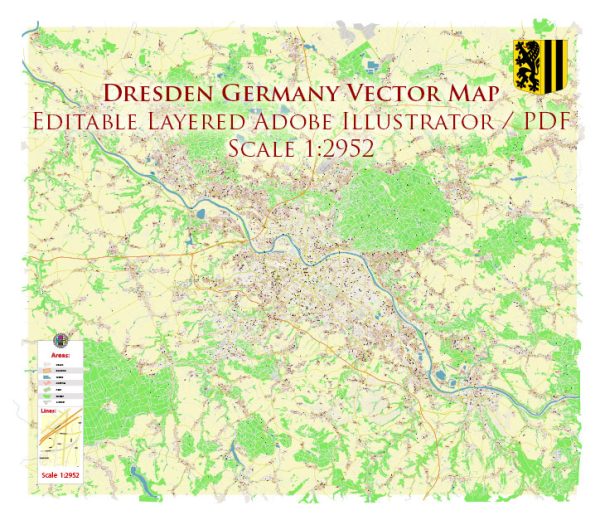
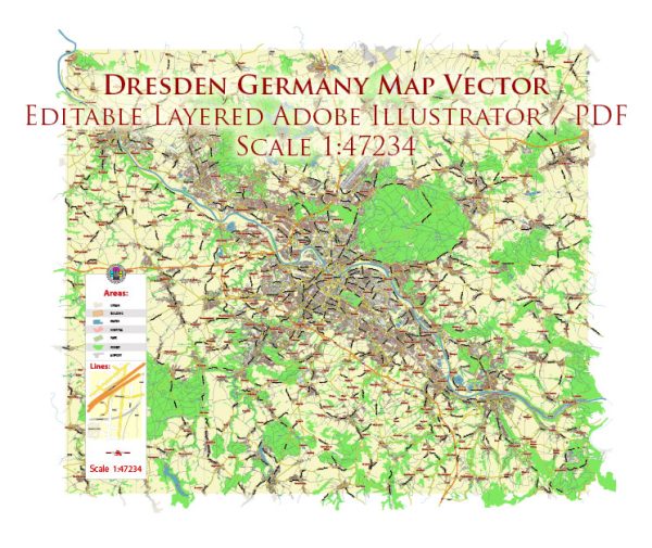
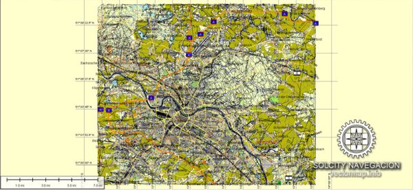
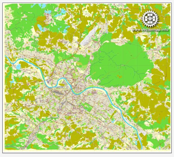
Dresden, located in the eastern part of Germany, has a rich history that spans over a thousand years. The city has gone through various periods of prosperity, cultural development, destruction, and rebuilding.
Vectormap.Net provide you with the most accurate and up-to-date vector maps in Adobe Illustrator, PDF and other formats, designed for editing and printing. Please read the vector map descriptions carefully.
Here’s a detailed overview of the history and transportation infrastructure of Dresden:
History:
1. Early History:
- Dresden’s history dates back to the early medieval period when it was a Slavic settlement. The name “Dresden” is believed to have Slavic origins.
- In the 13th century, the region came under the rule of the Margraviate of Meissen, a precursor to the Kingdom of Saxony.
2. Rise as a Royal Residence:
- Dresden experienced significant growth during the Renaissance and Baroque periods. Augustus the Strong, Elector of Saxony and later King of Poland, played a crucial role in turning Dresden into a cultural and artistic center.
- The city became known for its beautiful architecture, including the Zwinger Palace and the Frauenkirche.
3. Destruction during World War II:
- Dresden suffered extensive damage during World War II, particularly during the bombing raids in February 1945. The city center was almost completely destroyed, including many historic landmarks.
4. Post-War Reconstruction:
- After the war, Dresden underwent extensive reconstruction efforts to restore its historical buildings and cultural heritage. The reconstruction continued during the era of East Germany, following socialist principles.
5. Reunification and Modern Era:
- With the reunification of Germany in 1990, Dresden became part of the unified country. The city experienced economic growth and revitalization, attracting investments and tourists.
Transportation Infrastructure:
1. Roads and Highways:
- Dresden is well-connected by a network of roads and highways. The A4 and A17 Autobahns intersect in Dresden, facilitating easy access by car.
2. Public Transportation:
- Dresden has an efficient public transportation system, including buses, trams, and trains. Dresdner Verkehrsbetriebe (DVB) operates the city’s public transportation network.
- The tram system is extensive and widely used, providing a convenient means of getting around the city.
3. Rail Transport:
- Dresden Hauptbahnhof (main railway station) is a major transportation hub with connections to various German cities and international destinations.
- High-speed trains and regional trains serve the city, providing efficient rail transport options.
4. Airports:
- Dresden Airport (Flughafen Dresden-Klotzsche) serves the city for air travel. It has connections to several European cities, making it a regional gateway.
5. River Transport:
- The Elbe River flows through Dresden, and historically, river transport played a vital role in the city’s trade and commerce. While not as prominent today, river transport still exists for certain goods.
6. Cycling and Pedestrian Infrastructure:
- Dresden has made efforts to enhance cycling and pedestrian infrastructure, promoting environmentally friendly and healthy modes of transportation.
In summary, Dresden’s history is characterized by cultural richness, destruction, and resilient reconstruction. Its transportation infrastructure reflects a mix of modern efficiency and historical significance, contributing to the city’s appeal as a cultural and economic center in eastern Germany.


 Author: Kirill Shrayber, Ph.D.