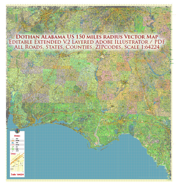
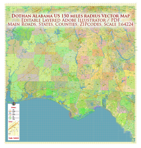
Dothan, Alabama, has a history shaped by its strategic location, economic development, and transportation infrastructure. A general overview of the city’s history and road system.
Vectormap.Net provide you with the most accurate and up-to-date vector maps in Adobe Illustrator, PDF and other formats, designed for editing and printing. Please read the vector map descriptions carefully.
History:
- Early Settlements: Dothan’s history dates back to the early 19th century when it was primarily a crossroads community serving as a hub for trade and transportation.
- Railroad Expansion: The arrival of the railroad in the late 19th century further facilitated the city’s growth, connecting Dothan to larger markets and contributing to its economic development.
- Peanut Capital: Known as the “Peanut Capital of the World,” Dothan gained prominence in the 20th century as a center for peanut farming and processing. The city’s agricultural industry played a significant role in its economy.
- Military Influence: During World War II, the U.S. Army established the Southeast Air Corps Training Center near Dothan, bringing a military presence to the region.
- Economic Diversification: Over the years, Dothan has worked on diversifying its economy beyond agriculture, with sectors like healthcare, education, and manufacturing playing crucial roles.
Road System:
- Major Highways:
- U.S. Route 84 (US-84): A significant east-west highway passing through Dothan, connecting it to cities like Montgomery and Columbus, Georgia.
- U.S. Route 231 (US-231): A north-south highway that intersects with US-84 in Dothan, providing access to the Florida Panhandle and northern Alabama.
- Future Interstate 10 (I-10) Connection:
- The proposed extension of I-10, which currently runs from Santa Monica, California, to Jacksonville, Florida, has been a topic of discussion. The extension would connect Dothan to the interstate system more directly.
- Local Roads:
- Ross Clark Circle: This is a major ring road encircling Dothan, facilitating local traffic and providing access to various neighborhoods, commercial areas, and institutions.
- Transportation Hubs:
- Dothan Regional Airport: Serving as the primary airport for the region, it connects Dothan to major cities.
- Recent Developments:
- Ongoing efforts have been made to improve and expand the road infrastructure to accommodate the city’s growth and enhance connectivity.
For the most current and detailed information on Dothan’s road system and history, it is recommended to consult local historical archives, city planning departments, or transportation authorities. Additionally, online mapping services can provide real-time details about the road network in and around Dothan.


 Author: Kirill Shrayber, Ph.D. FRGS