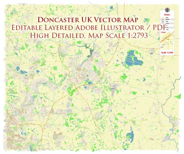
Doncaster is a historic market town located in South Yorkshire, England. A general overview of its political and transportation history.
Vectormap.Net provide you with the most accurate and up-to-date vector maps in Adobe Illustrator, PDF and other formats, designed for editing and printing. Please read the vector map descriptions carefully.
Political History:
- Ancient and Medieval Periods: Doncaster has a rich history dating back to Roman times. It was an important settlement known as Danum. During the medieval period, Doncaster developed as a market town and gained significance as a center for trade.
- Tudor and Stuart Eras: Doncaster continued to grow during the Tudor and Stuart eras. The town played a role in various historical events, including the English Civil War in the 17th century.
- Industrial Revolution: The Industrial Revolution had a profound impact on Doncaster. The town saw significant industrial development, particularly in coal mining, engineering, and railway construction.
- Victorian Era: Doncaster became an essential railway town in the 19th century. It was a major hub for the Great Northern Railway and later the London and North Eastern Railway. The railway industry significantly influenced the town’s economic and political landscape.
- 20th Century: In the 20th century, Doncaster faced economic challenges as traditional industries declined. However, it adapted to new economic trends, and its political landscape evolved with changing times.
- Contemporary Period: Doncaster continues to be an important regional center. Local government structures have undergone changes, with Doncaster Metropolitan Borough Council playing a key role in the town’s administration.
Transportation History:
- Canals: In the late 18th and early 19th centuries, Doncaster benefited from the construction of canals. The opening of the Sheffield and South Yorkshire Navigation Canal in the 18th century facilitated the transportation of goods and raw materials.
- Railways: Doncaster’s history is closely tied to the development of the railway industry. The town became a significant railway center, with locomotive and carriage manufacturing playing a vital role. Doncaster is renowned for its railway works, including the Doncaster Works, which contributed to the production and maintenance of locomotives.
- Roads: Doncaster’s road network has evolved over time, connecting the town to nearby urban centers and facilitating trade and transportation. The improvement of road infrastructure has been crucial for the town’s accessibility and economic development.
- Aviation: The Doncaster Sheffield Airport, located about 3 miles southeast of the town, has played a key role in modern transportation. Originally RAF Finningley, the airport has developed into a significant regional airport, serving both passenger and cargo flights.
In summary, Doncaster’s political and transportation history is characterized by its evolution from an ancient market town to a key player in the industrial revolution, particularly in the railway industry. Today, the town continues to adapt and thrive in the context of contemporary economic and political landscapes.


 Author: Kirill Shrayber, Ph.D. FRGS