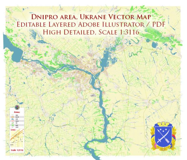
Dnipro, formerly known as Dnipropetrovsk, is one of the major cities in Ukraine and has a rich industrial history. The city is situated on the Dnieper River and has played a significant role in the industrial development of the country.
Vectormap.Net provide you with the most accurate and up-to-date vector maps in Adobe Illustrator, PDF and other formats, designed for editing and printing. Please read the vector map descriptions carefully.
Here’s a detailed description of the industrial history and road system in Dnipro, Ukraine:
Industrial History:
- Soviet Era: During the Soviet era, Dnipro emerged as an important industrial center, particularly in the field of heavy industry. The city was a key hub for the production of military equipment, machinery, and metallurgy. Many defense-related industries, including aerospace, were established in Dnipro.
- Aerospace Industry: Dnipro has been a significant player in the aerospace industry, hosting the Yuzhmash (Southern Machine-Building Plant) facility. Yuzhmash has been involved in the production of rockets and space launch vehicles. The city’s aerospace expertise played a crucial role in the Soviet space program.
- Metallurgical Industry: The city has a strong metallurgical tradition, with numerous steel and metal production plants contributing to the economy. Metallurgical enterprises in Dnipro have been involved in the production of steel, aluminum, and other metals.
- Machinery and Engineering: Dnipro has a well-developed machinery and engineering sector, manufacturing various types of industrial equipment, machinery, and components. The city’s industrial base has been integral to Ukraine’s economic development.
- Chemical Industry: Chemical production has also been a part of Dnipro’s industrial landscape, with the manufacturing of chemicals and fertilizers contributing to the city’s economic output.
Road System:
- Infrastructure Development: Dnipro has a well-developed road infrastructure that connects the city with other major urban centers in Ukraine. The road system has been a crucial component in facilitating transportation of goods and people.
- Highways: The city is connected to the national highway network, with major highways passing through or near Dnipro. The road network facilitates both domestic and international transportation, connecting Dnipro with other cities and neighboring countries.
- Bridges: Due to its location on the Dnieper River, Dnipro is home to several bridges that connect different parts of the city. These bridges play a vital role in the transportation system, ensuring smooth movement across the river.
- Public Transportation: In addition to roads, Dnipro has a public transportation system that includes buses, trolleys, and trams. These modes of transport provide convenient options for daily commuting within the city.
- Transportation Hubs: Dnipro is served by transportation hubs, including the Dnipro International Airport, which facilitates air travel, and the Dnipro railway station, connecting the city to the national and international rail network.
In summary, Dnipro’s industrial history is marked by its significant contributions to aerospace, metallurgy, machinery, and other key industries. The city’s road system, part of a broader transportation infrastructure, plays a crucial role in supporting industrial activities and facilitating connectivity within the region and beyond.


 Author: Kirill Shrayber, Ph.D. FRGS