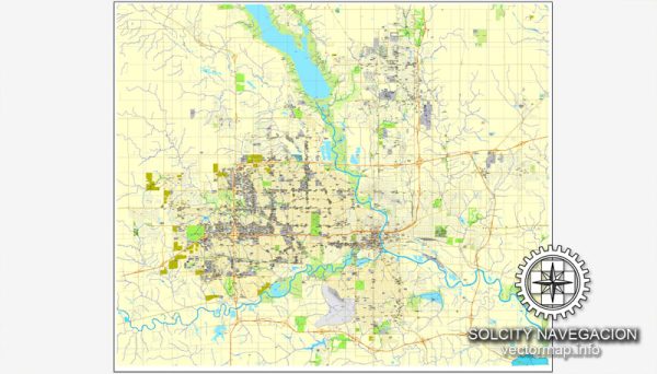
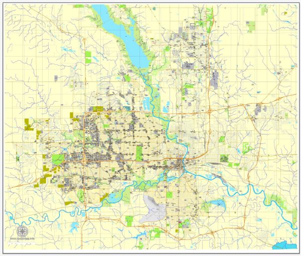
A general overview of the transportation infrastructure in Des Moines, Iowa, in the United States.
Vectormap.Net provide you with the most accurate and up-to-date vector maps in Adobe Illustrator, PDF and other formats, designed for editing and printing. Please read the vector map descriptions carefully.
Roads and Highways:
Des Moines has a well-developed road network that includes several major highways and interstates:
- Interstate Highways:
- I-35: Runs north-south through the eastern part of Des Moines.
- I-80: Crosses the southern part of the city, connecting the east and west coasts.
- U.S. Highways:
- U.S. Route 6: Passes through Des Moines, connecting it to the eastern and western parts of the state.
- U.S. Route 65: Runs north-south through the city.
- State Highways:
- Several state highways serve Des Moines, providing connectivity within the city and to other parts of Iowa.
Public Transportation:
Des Moines offers public transportation options primarily through the Des Moines Area Regional Transit Authority (DART). DART provides bus services throughout the city and the surrounding suburbs. The bus system serves various neighborhoods and key destinations, providing an important mode of transportation for residents and visitors.
Airport:
Des Moines International Airport (DSM) is the main airport serving the region. Located southwest of downtown Des Moines, it provides domestic flights and serves as a hub for air travel in and out of the city.
Rail Transportation:
Rail transportation plays a role in Des Moines’ freight movement. Union Pacific and Canadian National Railway are major railroads operating in the region. However, passenger rail services are limited in the area.
Bicycling and Pedestrian Infrastructure:
Des Moines has been working to enhance its bicycle and pedestrian infrastructure. The city has implemented various projects to create bike lanes, trails, and pedestrian-friendly spaces, contributing to a more walkable and bike-friendly environment.
Future Developments:
Cities are dynamic, and transportation infrastructure evolves over time. As of my last update, Des Moines has been investing in various projects to improve transportation, including road enhancements, public transportation upgrades, and continued efforts to make the city more accessible for cyclists and pedestrians.
For the latest and most accurate information, it is recommended to check with local transportation authorities or the city’s official website.


 Author: Kirill Shrayber, Ph.D. FRGS