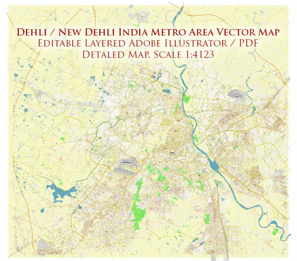
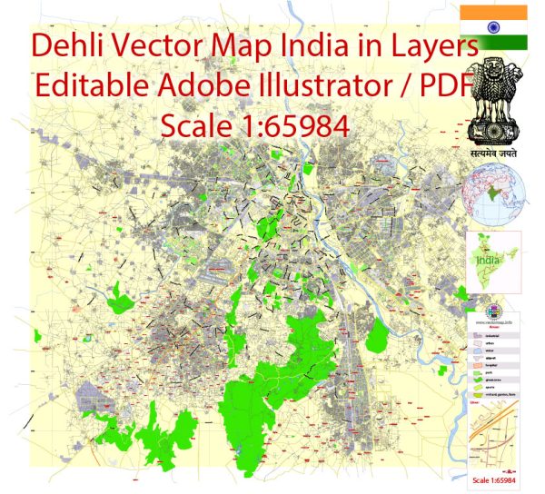
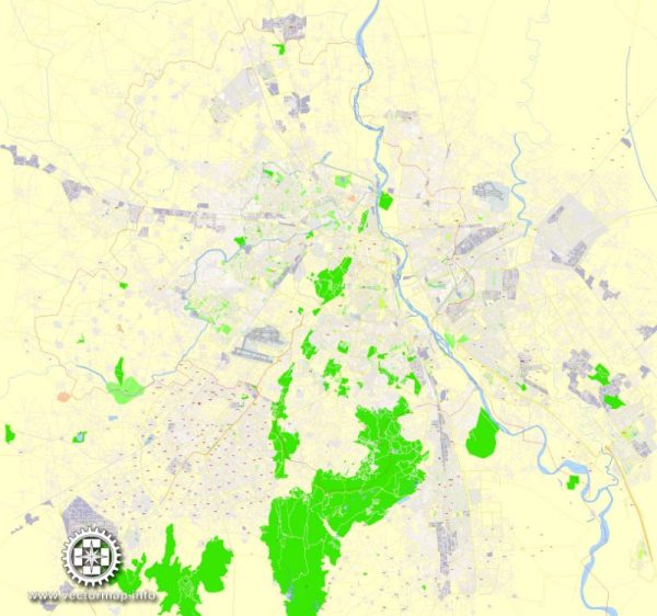
Delhi, the capital city of India, has a rich history that spans several millennia. The city has been a significant center of political, cultural, and economic activities since ancient times. While the history of Delhi is vast, I’ll provide a brief overview, followed by information on its road system.
Vectormap.Net provide you with the most accurate and up-to-date vector maps in Adobe Illustrator, PDF and other formats, designed for editing and printing. Please read the vector map descriptions carefully.
History of Delhi:
- Ancient Period (circa 300 BCE – 1206 CE):
- The earliest known settlements in the Delhi region date back to the 6th century BCE.
- The city has seen the rise and fall of various empires, including the Mauryas, Guptas, and the Kushans.
- The city’s prominence increased during the Delhi Sultanate period (1206–1526), with rulers like Qutb-ud-din Aibak, Alauddin Khilji, and others establishing significant monuments.
- Mughal Period (1526–1857):
- Delhi became the capital of the Mughal Empire in the 16th century under Babur.
- The city flourished during the reigns of Akbar, Shah Jahan, and Aurangzeb, who built many iconic structures such as the Red Fort and Jama Masjid.
- The British East India Company took control of Delhi after the Indian Rebellion of 1857, marking the end of the Mughal Empire.
- Colonial Period (1857–1947):
- Delhi became the capital of British India in 1911, replacing Calcutta.
- Edwin Lutyens and Herbert Baker designed New Delhi, which officially became the capital in 1931.
- India gained independence in 1947, and Delhi continued as the capital of the newly formed Republic of India.
- Post-Independence Period (1947–Present):
- Delhi’s population and infrastructure expanded rapidly post-independence.
- The city has undergone significant modernization, witnessing economic growth, urban development, and the establishment of various institutions.
Road System:
Delhi has an extensive road network that connects various parts of the city and its surrounding regions. The road system includes:
- Ring Roads:
- Delhi has multiple ring roads that encircle the city, facilitating smoother traffic flow. The Inner Ring Road and Outer Ring Road are crucial arteries.
- National Highways:
- Several National Highways pass through Delhi, connecting it to other major cities. NH1, NH8, NH9, NH10, and NH24 are among the important ones.
- Expressways:
- The Delhi Noida Direct (DND) Flyway and the Delhi-Gurgaon Expressway are prominent expressways, enhancing connectivity with neighboring regions.
- Metro System:
- Delhi Metro, operational since 2002, is a rapid transit system that significantly eases the city’s traffic congestion. It has become an essential part of Delhi’s transportation network.
- Flyovers and Underpasses:
- The city has numerous flyovers and underpasses to alleviate traffic congestion at key intersections.
- Public Transportation:
- Besides the metro, Delhi has a well-organized bus system operated by the Delhi Transport Corporation (DTC) and a robust network of auto-rickshaws and cycle-rickshaws.
- Ongoing Development:
- Delhi has witnessed ongoing infrastructure development projects aimed at improving connectivity, reducing traffic congestion, and enhancing overall transportation.
The road system in Delhi plays a crucial role in supporting the city’s economic activities, ensuring efficient transportation, and catering to the needs of its diverse population.


 Author: Kirill Shrayber, Ph.D. FRGS